Surrey Heath
Surrey Heath/TWA/26/0071
1 Woodside Close Bagshot Surrey GU19 5FR
- Reference
- Surrey Heath/TWA/26/0071
- Authority
- Surrey Heath
- Address
- 1 Woodside Close Bagshot Surrey GU19 5FR
- Postcode
- GU19 5FR
- Status
- Decided
- Decision
- Grant
- Received
- 16 Mar 2026
- Validated
- 16 Mar 2026
- Started
- 16 Mar 2026
- Decided
- 12 May 2026
- Source council
- Surrey Heath
- Council source record
- View public record
- Public data licence
- Open Government Licence v3.0
- Record updated
- 18 Jul 2026
- SEO index generated
- 24 Jul 2026
Location
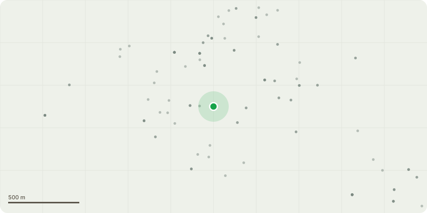
Approximate location
Proposal
This is an application to carry out the installation of a 10.73 sqm garden office at 1 Woodside Close, where the location of the garden office would fall into the Root Protection Area of a T1 Mature Common Oak Tree (Quercus Robur) located outside the property boundary, under Tree Preservation Order - TPO 06/00. The specific tree is identified in TPO 06/00 as G5 on the reference map.The advice of an independent Aborologist has been sought and as such we provide a Tree Protection Plan with our application along with a method statement from the office supplier Green Retreats which details the screw based system used for the foundations.The Tree Protection Plan shows our commitment to ensure the protection of the tree root system during the installation works of this building.The office building is within the 2.5m height restrictions therefore does not require full planning permission.
Key dates
- Received 16 Mar 2026
- Validated 16 Mar 2026
- Started 16 Mar 2026
- Decided 12 May 2026
Planning history / related applications
No related planning applications have been identified in the current public OGL dataset.
Inside plotEdge
Go beyond the public record
This page is the public OGL record. plotEdge adds the private intelligence layer for this site - open it in the app to unlock:
- Ownership & title Registered owner and title from HM Land Registry.
- Viability & build potential Site scoring and development upside.
- Constraints Flood risk, green belt, conservation areas and designations.
- Approval signal Planning risk and approval-likelihood analysis.
- Comparable applications Decisions on similar nearby sites, side by side.
- Status alerts Get notified the moment this application changes.
Source: public planning application data from Surrey Heath, reused under the Open Government Licence v3.0. View the council source record. Council documents and drawings are not republished on plotEdge.