Surrey Heath
Surrey Heath/TWA/26/0043
42 Clewborough Drive Camberley Surrey GU15 1NX
- Reference
- Surrey Heath/TWA/26/0043
- Authority
- Surrey Heath
- Address
- 42 Clewborough Drive Camberley Surrey GU15 1NX
- Postcode
- GU15 1NX
- Status
- Decided
- Decision
- Grant
- Received
- 13 Feb 2026
- Validated
- 13 Feb 2026
- Started
- 13 Feb 2026
- Decided
- 17 Feb 2026
- Source council
- Surrey Heath
- Council source record
- View public record
- Public data licence
- Open Government Licence v3.0
- Record updated
- 18 Jul 2026
- SEO index generated
- 24 Jul 2026
Location
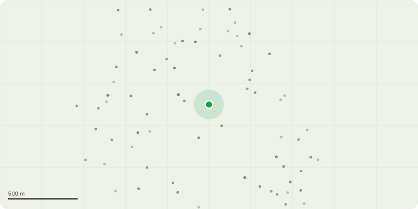
Approximate location
Proposal
T1 Oak. Carry out a crown reduction by removing 2-3m of newer growth on upper and radial spread, pruning so suitable secondary growth in accordance with BS3998 2010: Tree has a lean to the south naturally, and has been previously reduced but, have very large sail areas and block all sunlight as front of property faces southwards, also inhibiting any use of solar panels on roof space.Finished height would be approx. 18m and spread 10m southwest and west 7m and 9m east and north.T2 Oak. Carry out a crown reduction by removing 2m of newer growth on upper and radial spread, pruning so suitable secondary growth in accordance with BS3998 2010: This tree is actually over the front roof space and again, we would seek to reduce entire crown by 2m for same reason.Leaving finished height at 18m approx and radial spread to west and south at approx 7m.T3 Oak Carry out a crown reduction by removing 2m of newer growth on upper and radial spread, pruning so suitable secondary growth in accordance with BS3998 2010: This tree is close to property and neighbouring property of 38. Finished height would be 17m and spread of 8m in each direction.T4 Oak. Prune back lateral spread only by 2m to alleviate weight over M3 boundary. (All works subject to TPO 20/68).
Key dates
- Received 13 Feb 2026
- Validated 13 Feb 2026
- Started 13 Feb 2026
- Decided 17 Feb 2026
Planning history / related applications
No related planning applications have been identified in the current public OGL dataset.
Inside plotEdge
Go beyond the public record
This page is the public OGL record. plotEdge adds the private intelligence layer for this site - open it in the app to unlock:
- Ownership & title Registered owner and title from HM Land Registry.
- Viability & build potential Site scoring and development upside.
- Constraints Flood risk, green belt, conservation areas and designations.
- Approval signal Planning risk and approval-likelihood analysis.
- Comparable applications Decisions on similar nearby sites, side by side.
- Status alerts Get notified the moment this application changes.
Source: public planning application data from Surrey Heath, reused under the Open Government Licence v3.0. View the council source record. Council documents and drawings are not republished on plotEdge.