Surrey Heath
Surrey Heath/TWA/26/0036
Greenview Hall 12 Streets Heath West End Woking Surrey GU24 9QY
- Reference
- Surrey Heath/TWA/26/0036
- Authority
- Surrey Heath
- Address
- Greenview Hall 12 Streets Heath West End Woking Surrey GU24 9QY
- Postcode
- GU24 9QY
- Status
- Decided
- Decision
- Grant
- Received
- 4 Feb 2026
- Validated
- 4 Feb 2026
- Started
- 4 Feb 2026
- Decided
- 17 Feb 2026
- Source council
- Surrey Heath
- Council source record
- View public record
- Public data licence
- Open Government Licence v3.0
- Record updated
- 18 Jul 2026
- SEO index generated
- 24 Jul 2026
Location
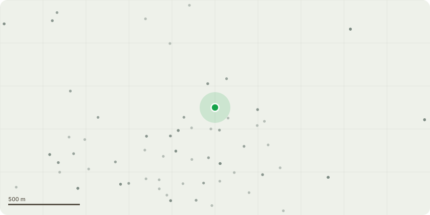
Approximate location
Proposal
T14 Portugal laurel - Potentially reduced tree by 50% depending if tree is cracked. Sever ivy at base. T15 Portugal laurel - Fell treeT04 Horse chestnut - Remove deadwood - less than 25 mm. Remove deadwood - greater than 25 mm. Crown lift to 5.2 m for highway clearance.Prune around cables by 500mmT22 Not identified - FellT27 Silver birch - FellG02 Mixed species - Cut back on public road sideT01 Pedunculate oak - Crown lift to 3 m for pedestrian clearance.T03 Holm oak - Prune back from building by 3m T11 Magnolia 'Purple pink' - Remove the tree skatesT16 Sycamore - Crown reduce by 6 m. Remove deadwood - less than 25 mm. Remove deadwood - greater than 25 mmT17 Douglas fir - Remove deadwood - less than 25 mm. Remove deadwood - greater than 25 mm.T23 Horse chestnut - Prune back to previous pruning worksT29 London plane - Crown lift to 5.2 m for highway clearance. Remove deadwood - less than 25 mm. Remove deadwood - greater than 25 mm.T30 London plane - Crown lift to 5.2 m for highway clearance. Remove deadwood - less than 25 mm. Remove deadwood - greater than 25 mm.T32 Sycamore - Crown lift to 5.2 m for highway clearance.T18 Pedunculate oak - Remove deadwood - less than 25 mm. Remove deadwood - greater than 25 mm.T19 Pedunculate oak - Remove deadwood - less than 25 mm. Remove deadwood - greater than 25 mm. Prune back from building by 3mT26 Poplar - Crown reduce by 50 %.T28 Poplar - Crown reduce by 50 %.G02 Mixed species - Consider crown reduction of all trees.
Key dates
- Received 4 Feb 2026
- Validated 4 Feb 2026
- Started 4 Feb 2026
- Decided 17 Feb 2026
Planning history / related applications
No related planning applications have been identified in the current public OGL dataset.
Inside plotEdge
Go beyond the public record
This page is the public OGL record. plotEdge adds the private intelligence layer for this site - open it in the app to unlock:
- Ownership & title Registered owner and title from HM Land Registry.
- Viability & build potential Site scoring and development upside.
- Constraints Flood risk, green belt, conservation areas and designations.
- Approval signal Planning risk and approval-likelihood analysis.
- Comparable applications Decisions on similar nearby sites, side by side.
- Status alerts Get notified the moment this application changes.
Source: public planning application data from Surrey Heath, reused under the Open Government Licence v3.0. View the council source record. Council documents and drawings are not republished on plotEdge.