Surrey Heath
Surrey Heath/TWA/25/0197
22 Newark Road Windlesham Surrey GU20 6NE
- Reference
- Surrey Heath/TWA/25/0197
- Authority
- Surrey Heath
- Address
- 22 Newark Road Windlesham Surrey GU20 6NE
- Postcode
- GU20 6NE
- Status
- Unknown
- Decision
- Refuse - TPO
- Received
- 17 Jul 2025
- Validated
- 17 Jul 2025
- Started
- 17 Jul 2025
- Decided
- 24 Sept 2025
- Source council
- Surrey Heath
- Council source record
- View public record
- Public data licence
- Open Government Licence v3.0
- Record updated
- 18 Jul 2026
- SEO index generated
- 24 Jul 2026
Location
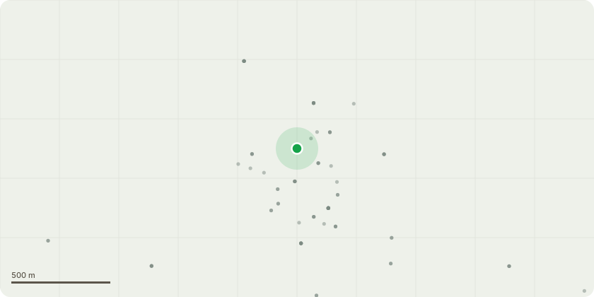
Approximate location
Proposal
T1 and T2 are both mature Western Red Cedars and were last topped in 2002 and 2014. Both trees are under TPO 03/77. This application is submitted to fell the trees due to the following reasons. The trees are in poor health and are both showing signs of an infestation which has been making a large number of exit holes. The trees pose a nuisance contrary to Surrey Heath Residential planning guidance. The trees have low visual amenity and are situated towards the rear of the dwelling and at the end of the residential cul-de-sac. The trees no longer meet the criteria for inclusion in a TPO. Furthermore as a collective group two or more evergreen trees over 2m constitute as a high hedge under part 8 of the Anti-social Behaviour Act 2003 (High Hedges). There is still significant tree cover in this area so we believe felling these trees will not diminish the original intention of the TPO.
Key dates
- Received 17 Jul 2025
- Validated 17 Jul 2025
- Started 17 Jul 2025
- Decided 24 Sept 2025
Planning history / related applications
No related planning applications have been identified in the current public OGL dataset.
Inside plotEdge
Go beyond the public record
This page is the public OGL record. plotEdge adds the private intelligence layer for this site - open it in the app to unlock:
- Ownership & title Registered owner and title from HM Land Registry.
- Viability & build potential Site scoring and development upside.
- Constraints Flood risk, green belt, conservation areas and designations.
- Approval signal Planning risk and approval-likelihood analysis.
- Comparable applications Decisions on similar nearby sites, side by side.
- Status alerts Get notified the moment this application changes.
Source: public planning application data from Surrey Heath, reused under the Open Government Licence v3.0. View the council source record. Council documents and drawings are not republished on plotEdge.