Surrey Heath
Surrey Heath/TPR/25/0005
2 The Ridings Frimley Camberley Surrey GU16 9QZ
- Reference
- Surrey Heath/TPR/25/0005
- Authority
- Surrey Heath
- Address
- 2 The Ridings Frimley Camberley Surrey GU16 9QZ
- Postcode
- GU16 9QZ
- Status
- Decided
- Decision
- Withdrawn
- Received
- 22 May 2025
- Validated
- 22 May 2025
- Started
- 22 May 2025
- Decided
- 2 Jun 2025
- Source council
- Surrey Heath
- Council source record
- View public record
- Public data licence
- Open Government Licence v3.0
- Record updated
- 18 Jul 2026
- SEO index generated
- 24 Jul 2026
Location
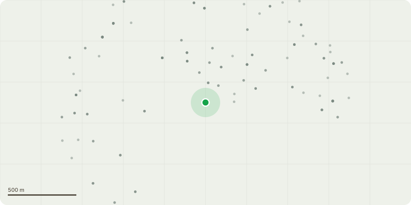
Approximate location
Proposal
Oak (Quercus Robor) x2 to back left of rear garden of 2 The Ridings as highlighted in accompaning map image. Application is for a 5 day notice to allow us to remove trees given significant concern of tree failure due to reasons outlined below - Dismantle tree to ground level and remove stump with stump grinder. The Tree has significant root rot suspected Phytophtora (or Armillaria?) large cavity is visible at the front base of the tree. The surrounding area appears to have significant rot and presence of what looks like fungal growth. Obvious concern is the decayed root system has compromised the tree anchoring with a target for any failure directly onto the house. The Tree appears to be two Quercus Robor with included bark as shown in attached supported image. The application is to remove both trees and treats, for the purpose of this specification, them as one tree. The reason being is the bark is heavily included up to around 8 foot in height, the homeowner is open to leaving the rear tree (showing little signs of root issue) however once we can assertain the damage incurred through removal of front tree it's likely to have large cavity area prone to further fungal disease. The homeowner has a good variation of tree in the rear garden and is open to replanting native Quercus, however clearly it won't be as mature as the one to be felled.
Key dates
- Received 22 May 2025
- Validated 22 May 2025
- Started 22 May 2025
- Decided 2 Jun 2025
Planning history / related applications
No related planning applications have been identified in the current public OGL dataset.
Inside plotEdge
Go beyond the public record
This page is the public OGL record. plotEdge adds the private intelligence layer for this site - open it in the app to unlock:
- Ownership & title Registered owner and title from HM Land Registry.
- Viability & build potential Site scoring and development upside.
- Constraints Flood risk, green belt, conservation areas and designations.
- Approval signal Planning risk and approval-likelihood analysis.
- Comparable applications Decisions on similar nearby sites, side by side.
- Status alerts Get notified the moment this application changes.
Source: public planning application data from Surrey Heath, reused under the Open Government Licence v3.0. View the council source record. Council documents and drawings are not republished on plotEdge.