Surrey Heath
Surrey Heath/24/1206/LLB
Garrison Church Of St Barbara Deepcut Bridge Road Deepcut Camberley Surrey GU16 6SJ
- Reference
- Surrey Heath/24/1206/LLB
- Authority
- Surrey Heath
- Application type
- LLB
- Address
- Garrison Church Of St Barbara Deepcut Bridge Road Deepcut Camberley Surrey GU16 6SJ
- Postcode
- GU16 6SJ
- Status
- Decided
- Decision
- Grant
- Received
- 11 Dec 2024
- Validated
- 17 Dec 2024
- Started
- 17 Dec 2024
- Decided
- 2 Jun 2025
- Source council
- Surrey Heath
- Council source record
- View public record
- Public data licence
- Open Government Licence v3.0
- Record updated
- 18 Jul 2026
- SEO index generated
- 24 Jul 2026
Location
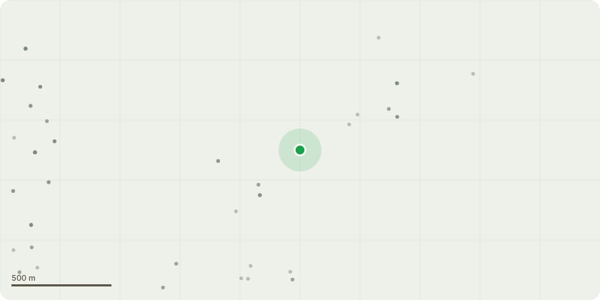
Approximate location
Proposal
Listed building consent for internal works to the church building to include the removal of the altar rails, surveys of windows/doors/floor covering/tongue and groove boarding with associated cleaning/repair/replacement and redecoration, removal of asbestos, repair internal ceiling/window water damage, repair roof joints and form rooms/reline plant room wall and replace decaying timber, replacement of damaged skirting in Vestry, remove lead sink and existing sink and replace with cleaners sink, upgrade to electrical systems including rewire of system, installation of burglar and fire alarms and emergency lighting, replacement lighting and new lighting circuits, additional sockets, unblock window in store room and repair sill and frames, relocate two military plaques, new IT provision and repaint existing gates to match existing.
Key dates
- Received 11 Dec 2024
- Validated 17 Dec 2024
- Started 17 Dec 2024
- Decided 2 Jun 2025
Planning history / related applications
No related planning applications have been identified in the current public OGL dataset.
Inside plotEdge
Go beyond the public record
This page is the public OGL record. plotEdge adds the private intelligence layer for this site - open it in the app to unlock:
- Ownership & title Registered owner and title from HM Land Registry.
- Viability & build potential Site scoring and development upside.
- Constraints Flood risk, green belt, conservation areas and designations.
- Approval signal Planning risk and approval-likelihood analysis.
- Comparable applications Decisions on similar nearby sites, side by side.
- Status alerts Get notified the moment this application changes.
Source: public planning application data from Surrey Heath, reused under the Open Government Licence v3.0. View the council source record. Council documents and drawings are not republished on plotEdge.