Sunderland
Sunderland/26/00546/TEX
Land On Armstrong Road Whitworth Road Industrial Estate Washington NE37 1PP
- Reference
- Sunderland/26/00546/TEX
- Authority
- Sunderland
- Application type
- TEX
- Address
- Land On Armstrong Road Whitworth Road Industrial Estate Washington NE37 1PP
- Postcode
- NE37 1PP
- Status
- Unknown
- Decision
- Prior Approval Not Required
- Received
- 11 Mar 2026
- Validated
- 10 Apr 2026
- Started
- 10 Apr 2026
- Decided
- 1 Jun 2026
- Source council
- Sunderland
- Council source record
- View public record
- Public data licence
- Open Government Licence v3.0
- Record updated
- 18 Jul 2026
- SEO index generated
- 24 Jul 2026
Location
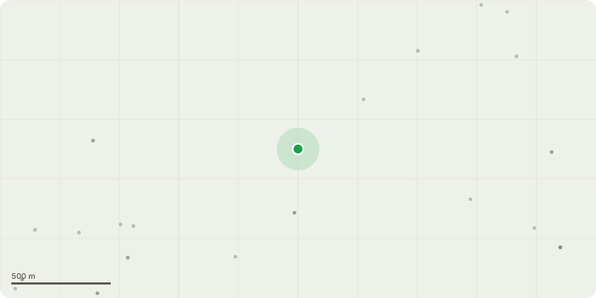
Approximate location
Proposal
The installation of communications tower with an overall height of 23.5m above ground level comprising a slimline lattice tower on concrete blocks upon which 3 x omni-directional antennae will be attached at a height of 23.5m AGL (to the underside) along with 2 x 600mm link transmission dishes at a height of around 20m AGL (orientations to be confirmed). At ground level there will be a cabin measuring 2.7m x 2.7m x 2.79m (height) cabin housing electronic apparatus and an electricity meter cabinet. The compound will be enclosed by a 3m high palisade fence. There will be additional ancillary equipment and cabling along with a GPS unit, all as shown on the drawings NHU102_GA_01, 02, 03 & 04_V.3.
Key dates
- Received 11 Mar 2026
- Validated 10 Apr 2026
- Started 10 Apr 2026
- Decided 1 Jun 2026
Planning history / related applications
No related planning applications have been identified in the current public OGL dataset.
Inside plotEdge
Go beyond the public record
This page is the public OGL record. plotEdge adds the private intelligence layer for this site - open it in the app to unlock:
- Ownership & title Registered owner and title from HM Land Registry.
- Viability & build potential Site scoring and development upside.
- Constraints Flood risk, green belt, conservation areas and designations.
- Approval signal Planning risk and approval-likelihood analysis.
- Comparable applications Decisions on similar nearby sites, side by side.
- Status alerts Get notified the moment this application changes.
Source: public planning application data from Sunderland, reused under the Open Government Licence v3.0. View the council source record. Council documents and drawings are not republished on plotEdge.