Stroud
Stroud/S.25/1580/TCA
Croft Orchard Gloucester Street Painswick Stroud Gloucestershire GL6 6QN
- Reference
- Stroud/S.25/1580/TCA
- Authority
- Stroud
- Application type
- Trees in conservation area
- Address
- Croft Orchard Gloucester Street Painswick Stroud Gloucestershire GL6 6QN
- Postcode
- GL6 6QN
- Status
- Application Approved
- Decision
- Consent
- Received
- 27 Aug 2025
- Validated
- 27 Aug 2025
- Started
- 27 Aug 2025
- Decided
- 7 Oct 2025
- Source council
- Stroud
- Council source record
- View public record
- Public data licence
- Open Government Licence v3.0
- Record updated
- 18 Jul 2026
- SEO index generated
- 24 Jul 2026
Location
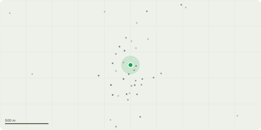
Approximate location
Proposal
A Lime tree to - remove overhanging branches, crown reduction of maximum 5m (All branches to be cut to the nearest available growth points) and thin out the remainder and BBB 3no. mature Lime trees - thin out foliage of trees and crown reduce by maximum 5m (All branches to be cut to the nearest available growth points). C1, C2, C3 3no. large Beech trees - All have been crown lifted in the past and some branches pollarded. Remove C3 which has a split trunk, some evidence of canker & is leaning towards neighbouring properties. Reduce the other two by 6 metres (30%) to allow more light. D Silver Birch - cut back by 4 metres to previous pollard points. E Large Cotoneaster Cornubia - cut back branches which overhang the drive, and remove dead wood. F Possible Acacia which obstructs the drive/parking space - remove overhanging branches. G,G,G etc, Row of overgrown Leylandii or similar Fir trees which once formed a hedge - remove some of the trees & reduce the height of the remainder by 6 metres to approx. 20 feet, while cutting back overhanging branches. Replace the removed specimens with Yew, Laurel or Holm Oak to provide an evergreen screen. H Straggly Yew tree - trim back and reduce its height by 4-5 metres. J Remove a dead and dying Plum tree.
Key dates
- Received 27 Aug 2025
- Validated 27 Aug 2025
- Started 27 Aug 2025
- Decided 7 Oct 2025
Planning history / related applications
No related planning applications have been identified in the current public OGL dataset.
Inside plotEdge
Go beyond the public record
This page is the public OGL record. plotEdge adds the private intelligence layer for this site - open it in the app to unlock:
- Ownership & title Registered owner and title from HM Land Registry.
- Viability & build potential Site scoring and development upside.
- Constraints Flood risk, green belt, conservation areas and designations.
- Approval signal Planning risk and approval-likelihood analysis.
- Comparable applications Decisions on similar nearby sites, side by side.
- Status alerts Get notified the moment this application changes.
Source: public planning application data from Stroud, reused under the Open Government Licence v3.0. View the council source record. Council documents and drawings are not republished on plotEdge.