Stratford-on-Avon
Stratford-on-Avon/26/01131/TREE
Lansdowne House 56 - 58 Sheep Street Shipston-on-Stour CV36 4AE
- Reference
- Stratford-on-Avon/26/01131/TREE
- Authority
- Stratford-on-Avon
- Address
- Lansdowne House 56 - 58 Sheep Street Shipston-on-Stour CV36 4AE
- Postcode
- CV36 4AE
- Status
- Tree Consent with Conditions
- Received
- 6 May 2026
- Started
- 6 May 2026
- Source council
- Stratford-on-Avon
- Council source record
- View public record
- Public data licence
- Open Government Licence v3.0
- Record updated
- 18 Jul 2026
- SEO index generated
- 24 Jul 2026
Location
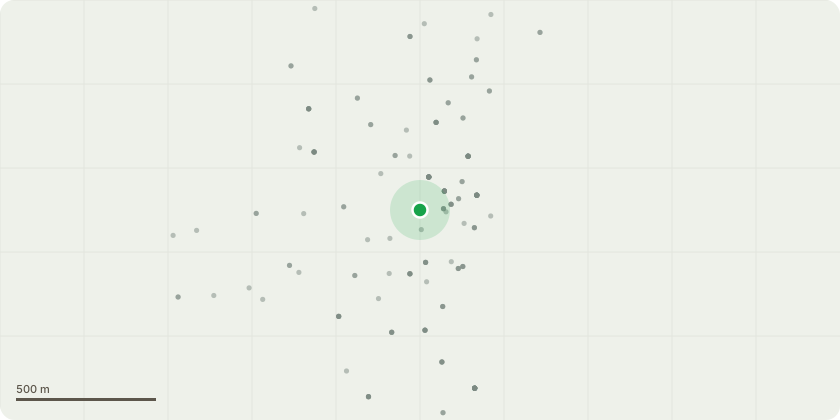
Approximate location
Proposal
G1 - Leylandii x 6 - Large outgrown Leylandi growing beneath and amongst canopies of more desirable Cedar trees. Fell and removed to ground level, to reduce further risk and pressure to retaining wall, this in turn will help clear the canopies of the Cedars. T1- Cedar - The crown cleaning of mature Cedars, by removing all dead wood and fractured damage branching. This will include a selective reduction on over extended branching to relieve end weight where necessary by up to 1.5m. Thin up to 10% T2 - Cedar - Reduction from neighbouring property by 2.5m this includes no height reduction just lateral branching over neighbouring garden to reduce spread T3 - Poplar - The semi mature Poplar standing in the corner of property, growing tight to brick wall, Fell to reduce the risk to wall and neighbouring property. T4 Leylandii - Fell tight to boundary wall T5 - Leylandii - Single tall tree standing by gable end of neighbouring building. This is to be reduced back from property to give a minimum of 1m clearance, and a light reduction on top growth to balance. Reduce height by 3m T6 - Leylandii - Single tall tree standing by gable end of neighbouring building. This is to be reduced back from property to give a minimum of 1m clearance and a light reduction on top growth to balance. T7 - Sycamore - Large Sycamore over woodland bed and close to neighbouring property, this is having major dead wood removed throughout to reduce risk of failing branches
Key dates
- Received 6 May 2026
- Started 6 May 2026
Planning history / related applications
No related planning applications have been identified in the current public OGL dataset.
Inside plotEdge
Go beyond the public record
This page is the public OGL record. plotEdge adds the private intelligence layer for this site - open it in the app to unlock:
- Ownership & title Registered owner and title from HM Land Registry.
- Viability & build potential Site scoring and development upside.
- Constraints Flood risk, green belt, conservation areas and designations.
- Approval signal Planning risk and approval-likelihood analysis.
- Comparable applications Decisions on similar nearby sites, side by side.
- Status alerts Get notified the moment this application changes.
Source: public planning application data from Stratford-on-Avon, reused under the Open Government Licence v3.0. View the council source record. Council documents and drawings are not republished on plotEdge.