Stratford-on-Avon
Stratford-on-Avon/26/00301/TREE
The Thatched Cottage Steels Lane Cherington Shipston-on-Stour CV36 5HL
- Reference
- Stratford-on-Avon/26/00301/TREE
- Authority
- Stratford-on-Avon
- Address
- The Thatched Cottage Steels Lane Cherington Shipston-on-Stour CV36 5HL
- Postcode
- CV36 5HL
- Status
- Tree Works - Deemed Consent
- Source council
- Stratford-on-Avon
- Council source record
- View public record
- Public data licence
- Open Government Licence v3.0
- Record updated
- 18 Jul 2026
- SEO index generated
- 24 Jul 2026
Location
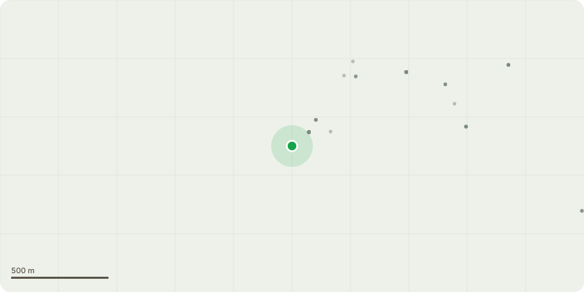
Approximate location
Proposal
T1 lawson - Reduce to approximately 2.5m and trim side growth - T2 birch - Crown reduce back to previous points and remove poor pruning cuts - T3 ash - Remove uprights and deadwood - T4 schmach - Remove limb close to thatch - T5 holly - Remove outgrown top growth and cut back Cotoneaster - T6 crab - Formative prune - T7 damson - Reduce front stems to give above tree space - T8 maple - Crown reduction to previous points - T9 maple - Crown reduction to previous points - T10 cherry - Reduce top growth back to previous level - T11 cherry - Crown thin throughout to improve structure - T12 maple - Reduce to previous points - T13 cherry - Reduce down to previous level above hedge line - T14 plum - Crown thin throughout and light reduction - T15 mulberry - Re-pollard at previous level - T16 maple - Reduce to previous level - T17 plum - Reduce live growth by approximately 30% to relieve weight - T18 apple - Remove water shoots - G1 apple - Reduce apple trees back to previous levels and formative pruning of standard trees - G2 beech - Crown raise beech trees behind outbuilding length of boundary
Planning history / related applications
No related planning applications have been identified in the current public OGL dataset.
Inside plotEdge
Go beyond the public record
This page is the public OGL record. plotEdge adds the private intelligence layer for this site - open it in the app to unlock:
- Ownership & title Registered owner and title from HM Land Registry.
- Viability & build potential Site scoring and development upside.
- Constraints Flood risk, green belt, conservation areas and designations.
- Approval signal Planning risk and approval-likelihood analysis.
- Comparable applications Decisions on similar nearby sites, side by side.
- Status alerts Get notified the moment this application changes.
Source: public planning application data from Stratford-on-Avon, reused under the Open Government Licence v3.0. View the council source record. Council documents and drawings are not republished on plotEdge.