Stratford-on-Avon
Stratford-on-Avon/24/03244/TREE
Coughton Court Coughton Alcester B49 5JA
- Reference
- Stratford-on-Avon/24/03244/TREE
- Authority
- Stratford-on-Avon
- Address
- Coughton Court Coughton Alcester B49 5JA
- Postcode
- B49 5JA
- Status
- Tree Consent with Conditions
- Received
- 20 Dec 2024
- Started
- 20 Dec 2024
- Source council
- Stratford-on-Avon
- Council source record
- View public record
- Public data licence
- Open Government Licence v3.0
- Record updated
- 18 Jul 2026
- SEO index generated
- 24 Jul 2026
Location
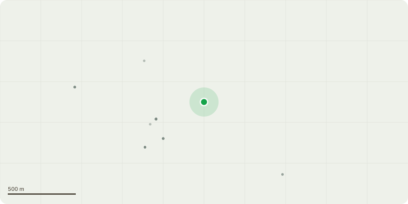
Approximate location
Proposal
Removal of various trees adjacent to Cain Brook (north and south bank) to facilitate proposed repairs to the engineered sections of the bank and remove obstructions to the flow, as detailed in the submitted reports. -T0278 ash (section 5 south bank): Fell. -T0426 alder (section 4 south bank): Fell. -T0433 ash (section 4 south bank): Fell. -T0442 alder (section 3 north bank): Fell. -T0443 ash (section 3 north bank): Fell. -T0444 alder (section 3 north bank): Fell. -T0445 ash (section 3 north bank): Fell. -T0446 ash (section 3 north bank): Fell. -T0447 alder (section 3 north bank): Fell. -T0448 alder (section 3 north bank): Fell. -T0970 hawthorn (section 2 north bank): Fell. -T0971 holly (section 2 north bank): Fell. -T0972 ash (section 3 in channel): Fell. -T0973 alder(section 3 north bank): Fell. -T0974 ash (section 3 north bank): Fell. -T0975 ash (section 3 north bank): Fell. -T0976 alder (section 4 south bank): Fell. -T0977 hawthorn (section 4 south bank): Fell. -T0978 alder (section 4 south bank): Fell. -T0979 hawthorn (section 4 south bank): Fell. -elder and privet (both banks, Section 2 and 3): Fell.
Key dates
- Received 20 Dec 2024
- Started 20 Dec 2024
Planning history / related applications
No related planning applications have been identified in the current public OGL dataset.
Inside plotEdge
Go beyond the public record
This page is the public OGL record. plotEdge adds the private intelligence layer for this site - open it in the app to unlock:
- Ownership & title Registered owner and title from HM Land Registry.
- Viability & build potential Site scoring and development upside.
- Constraints Flood risk, green belt, conservation areas and designations.
- Approval signal Planning risk and approval-likelihood analysis.
- Comparable applications Decisions on similar nearby sites, side by side.
- Status alerts Get notified the moment this application changes.
Source: public planning application data from Stratford-on-Avon, reused under the Open Government Licence v3.0. View the council source record. Council documents and drawings are not republished on plotEdge.