Stratford-on-Avon
Stratford-on-Avon/24/02253/LDE
The Granary Stamford Hall Farm Fosse Way Ettington Stratford-upon-Avon CV37 7PA
- Reference
- Stratford-on-Avon/24/02253/LDE
- Authority
- Stratford-on-Avon
- Address
- The Granary Stamford Hall Farm Fosse Way Ettington Stratford-upon-Avon CV37 7PA
- Postcode
- CV37 7PA
- Status
- Application Withdrawn
- Received
- 17 Sept 2024
- Started
- 17 Sept 2024
- Source council
- Stratford-on-Avon
- Council source record
- View public record
- Public data licence
- Open Government Licence v3.0
- Record updated
- 18 Jul 2026
- SEO index generated
- 24 Jul 2026
Location
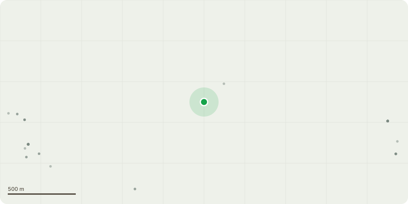
Approximate location
Proposal
We have erected wooden play equipment in our garden, it consists of a slide, some swings, a sandpit, and a platform with a play house on top. It is for use by our children. We also wish to put up a roughly 8-9ft by 10-11ft greenhouse in our garden. It is for use as a hobby, not commercial growing. Neither the play equipment or the greenhouse is/would be visible from outside of our property, it would be hidden by our house from the front (apart from a small gap to our neighbours property), high hedges on both sides of the garden and our own field behind the property as well as large oak trees at the end of the garden. I don't believe either of these would normally require planning permission, but our house is curtilage listed due to its proximity to Stamford Hall Farm.
Key dates
- Received 17 Sept 2024
- Started 17 Sept 2024
Planning history / related applications
No related planning applications have been identified in the current public OGL dataset.
Inside plotEdge
Go beyond the public record
This page is the public OGL record. plotEdge adds the private intelligence layer for this site - open it in the app to unlock:
- Ownership & title Registered owner and title from HM Land Registry.
- Viability & build potential Site scoring and development upside.
- Constraints Flood risk, green belt, conservation areas and designations.
- Approval signal Planning risk and approval-likelihood analysis.
- Comparable applications Decisions on similar nearby sites, side by side.
- Status alerts Get notified the moment this application changes.
Source: public planning application data from Stratford-on-Avon, reused under the Open Government Licence v3.0. View the council source record. Council documents and drawings are not republished on plotEdge.