Stratford-on-Avon
Stratford-on-Avon/23/00233/FUL
The Old School House Featherbed Lane Stourton Warwickshire CV36 5HS
- Reference
- Stratford-on-Avon/23/00233/FUL
- Authority
- Stratford-on-Avon
- Address
- The Old School House Featherbed Lane Stourton Warwickshire CV36 5HS
- Postcode
- CV36 5HS
- Status
- Permission with Conditions
- Received
- 6 Mar 2023
- Started
- 6 Mar 2023
- Source council
- Stratford-on-Avon
- Council source record
- View public record
- Public data licence
- Open Government Licence v3.0
- Record updated
- 18 Jul 2026
- SEO index generated
- 24 Jul 2026
Location
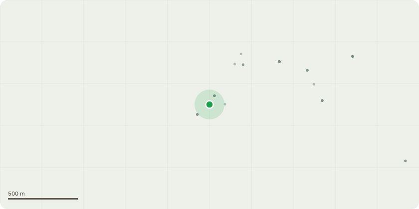
Approximate location
Proposal
Fencing: The north boundary currently has a double palisade timber fence measuring 5.95m between the driveway gate and the house. Permission is requested to replace with a new double palisade timber fence using the pre-existing concrete posts. The new fence would not exceed the height or length of the existing fence, which currently has a maximum height of 1.83m. The north boundary also has a hedge measuring 4.8m in length from the west (rear) boundary is 1.0m in width. Permission is requested to erect a hazel hurdle fence measuring 4.8m in length and 1.83m in height positioned at least 1.1m from the north boundary behind the existing hedge within the garden. The west (rear) boundary currently has a single palisade timber fence, which runs the entire length of the boundary. Permission is requested to replace with a new double palisade timber fence using pre-existing concrete posts with the height of the new fence not exceeding 1.83m. The south (neighbour) boundary currently has a rail fence along the entire boundary with a willow hurdle fence attached for the first 5.5m from the house. Permission is requested to remove the willow hurdle fence and erect a hazel hurdle fence to be attached to the existing rail fence along the length of south boundary with a maximum height of 1.83m. None of the fencing will be painted and will be left to weather with time. Shed: There is currently a shed measuring 4.30m in length by 1.8m in width in the south-west corner of the property, which is located 0.52m from the south (neighbour) boundary and 0.80m from the west (rear) boundary. Permission is requested to demolish the existing shed and erect a new shed on the north side of the property measuring 3.00m in length and 2.40m in width, which will be laid on a concrete base. The proposed shed will be located 2.30m from the west (rear) boundary and 2.80m from the north boundary. Height of the proposed shed will be less than 2.5m from ground level.
Key dates
- Received 6 Mar 2023
- Started 6 Mar 2023
Planning history / related applications
No related planning applications have been identified in the current public OGL dataset.
Inside plotEdge
Go beyond the public record
This page is the public OGL record. plotEdge adds the private intelligence layer for this site - open it in the app to unlock:
- Ownership & title Registered owner and title from HM Land Registry.
- Viability & build potential Site scoring and development upside.
- Constraints Flood risk, green belt, conservation areas and designations.
- Approval signal Planning risk and approval-likelihood analysis.
- Comparable applications Decisions on similar nearby sites, side by side.
- Status alerts Get notified the moment this application changes.
Source: public planning application data from Stratford-on-Avon, reused under the Open Government Licence v3.0. View the council source record. Council documents and drawings are not republished on plotEdge.