Stratford-on-Avon
Stratford-on-Avon/23/00220/LDP
British Motor Museum Banbury Road Gaydon Warwickshire CV35 0BJ
- Reference
- Stratford-on-Avon/23/00220/LDP
- Authority
- Stratford-on-Avon
- Address
- British Motor Museum Banbury Road Gaydon Warwickshire CV35 0BJ
- Postcode
- CV35 0BJ
- Status
- Application Withdrawn
- Received
- 26 Jan 2023
- Started
- 26 Jan 2023
- Source council
- Stratford-on-Avon
- Council source record
- View public record
- Public data licence
- Open Government Licence v3.0
- Record updated
- 18 Jul 2026
- SEO index generated
- 24 Jul 2026
Location
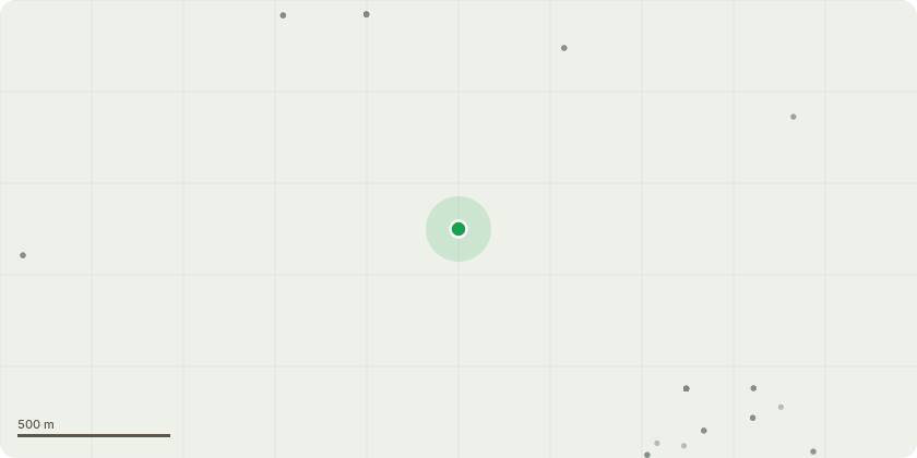
Approximate location
Proposal
The British Motor Museum runs a calendar of summer shows and hopes to offer one or two night camping options for visitors in tents, caravans and motorhomes to those attending shows. Any camping offered would be solely to support the show taking place during the season which predominantly runs from April to September with a maximum of 28 nights camping nights in total during this time. The area of land to be used is a grassed area across the centre of the site with the option to overflow onto a hardstanding car park/driver training track when not in use. It is envisaged the majority of camping will be for approximately 50 pitches with the exception of one or two events where there could be up to 150 pitches made available to show visitors wishing to camp on the British Motor Museum site.
Key dates
- Received 26 Jan 2023
- Started 26 Jan 2023
Planning history / related applications
No related planning applications have been identified in the current public OGL dataset.
Inside plotEdge
Go beyond the public record
This page is the public OGL record. plotEdge adds the private intelligence layer for this site - open it in the app to unlock:
- Ownership & title Registered owner and title from HM Land Registry.
- Viability & build potential Site scoring and development upside.
- Constraints Flood risk, green belt, conservation areas and designations.
- Approval signal Planning risk and approval-likelihood analysis.
- Comparable applications Decisions on similar nearby sites, side by side.
- Status alerts Get notified the moment this application changes.
Source: public planning application data from Stratford-on-Avon, reused under the Open Government Licence v3.0. View the council source record. Council documents and drawings are not republished on plotEdge.