Stratford-on-Avon
Stratford-on-Avon/22/03632/TREE
St James Church Park Lane Southam Warwickshire CV47 0JA
- Reference
- Stratford-on-Avon/22/03632/TREE
- Authority
- Stratford-on-Avon
- Address
- St James Church Park Lane Southam Warwickshire CV47 0JA
- Postcode
- CV47 0JA
- Status
- Tree Consent with Conditions
- Received
- 12 Dec 2022
- Started
- 12 Dec 2022
- Source council
- Stratford-on-Avon
- Council source record
- View public record
- Public data licence
- Open Government Licence v3.0
- Record updated
- 18 Jul 2026
- SEO index generated
- 24 Jul 2026
Location
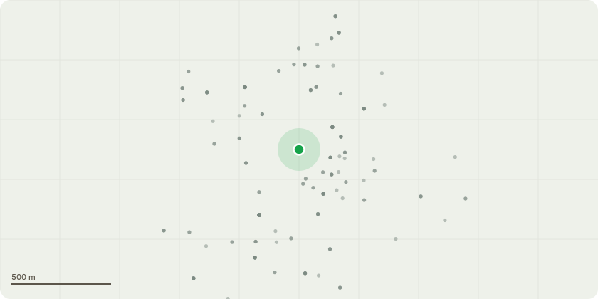
Approximate location
Proposal
Proposed arboricultural works, as per St James Quinquennial Tree Report 2020:- -T24 birch: grub-out. -T40 oak: remove 1no. low limb and 1no. low branch to the east. Remove deadwood. -T55 maple: Reduce crown by up to 2metres. Remove deadwood. -T57 crab apple: reduce south-southeast of crown where over gravestones by up to 3metres. Remove deadwood. -T58 cherry: reduce eastern canopy over gravestones by up to 3metres. Remove deadwood. -T59 whitebeam: reduce crown height and spread by up to 3metres. remove deadwood. -T62 whitebeam: reduce height to approximately 8-9metres and reduce spread to balance. -T66 field maple: reduce crown height and spread by approximately 3-4metres. Remove deadwood. -T71 ash: repollard. -T77 golden cypress: reduce to approximately 10metres and reduce splayed branches to shape. -T78 Irish yew: remove elderberry growing at base of yew. -T91 red chestnut: fell. -T93 sycamore: remove trunk and crown epicormic growth. Remove major deadwood.
Key dates
- Received 12 Dec 2022
- Started 12 Dec 2022
Planning history / related applications
No related planning applications have been identified in the current public OGL dataset.
Inside plotEdge
Go beyond the public record
This page is the public OGL record. plotEdge adds the private intelligence layer for this site - open it in the app to unlock:
- Ownership & title Registered owner and title from HM Land Registry.
- Viability & build potential Site scoring and development upside.
- Constraints Flood risk, green belt, conservation areas and designations.
- Approval signal Planning risk and approval-likelihood analysis.
- Comparable applications Decisions on similar nearby sites, side by side.
- Status alerts Get notified the moment this application changes.
Source: public planning application data from Stratford-on-Avon, reused under the Open Government Licence v3.0. View the council source record. Council documents and drawings are not republished on plotEdge.