Stratford-on-Avon
Stratford-on-Avon/21/03417/AMD
Long Marston Airfield (Predominantly The South Eastern Corner) Campden Road Lower Quinton Stratford-upon-Avon CV37 8LL
- Reference
- Stratford-on-Avon/21/03417/AMD
- Authority
- Stratford-on-Avon
- Address
- Long Marston Airfield (Predominantly The South Eastern Corner) Campden Road Lower Quinton Stratford-upon-Avon CV37 8LL
- Postcode
- CV37 8LL
- Status
- Approval of Non Material Amendment
- Received
- 22 Mar 2022
- Started
- 22 Mar 2022
- Source council
- Stratford-on-Avon
- Council source record
- View public record
- Public data licence
- Open Government Licence v3.0
- Record updated
- 18 Jul 2026
- SEO index generated
- 24 Jul 2026
Location
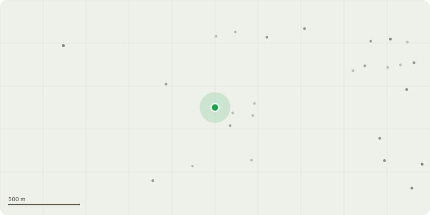
Approximate location
Proposal
Non-material minor amendment (part retrospective) to application reference 17/03258/REM dated 14.03.2019 to include an additional electricity substation and Gas Pressure Reduction Installation , changes to the colour/some of the locations of meter/service boxes, changes to the front elevations of a number of the Hunsley, Belford, Dinfield and Gosfield house types, handing of plots (193, 194, 197, 203, 204, 210, 219, 265, 275 & 341), minor changes to internal road layout including private drives (including the removal of bollards and other access obstruction works on the private drives) and additional footways and repositioning of some dwellings and assoiated changes; addition of sheds to some plots; removal of stretch of cycleway/footway outside plot 156; amendment to rear garden sizes of plots 234 and 236 changes to on-site soft landscaping including position of some street trees; use of indigenous plant species for entrance Gateway (roundabout) soft landscaping; re-orientation of the MUGA on the site layout plan and changes to the proposed play equipment in the destination play area, outdoor gym and trim trails (including their location) by amending Condition 1 (plans and other information) of Reserved Matters submission 17/03258/REM and consequently amending the Overall Site Plan reference referred to in conditions 8, 9, 11,12, 14 ,15 and 21 and adding additional conditon 25 relating to the addition of obscure glazing to plots 163, 211, 222 and 257
Key dates
- Received 22 Mar 2022
- Started 22 Mar 2022
Planning history / related applications
No related planning applications have been identified in the current public OGL dataset.
Inside plotEdge
Go beyond the public record
This page is the public OGL record. plotEdge adds the private intelligence layer for this site - open it in the app to unlock:
- Ownership & title Registered owner and title from HM Land Registry.
- Viability & build potential Site scoring and development upside.
- Constraints Flood risk, green belt, conservation areas and designations.
- Approval signal Planning risk and approval-likelihood analysis.
- Comparable applications Decisions on similar nearby sites, side by side.
- Status alerts Get notified the moment this application changes.
Source: public planning application data from Stratford-on-Avon, reused under the Open Government Licence v3.0. View the council source record. Council documents and drawings are not republished on plotEdge.