Stratford-on-Avon
Stratford-on-Avon/21/03142/TPO
Alveston Leys Nursing Home Kissing Tree Lane Alveston CV37 7QN
- Reference
- Stratford-on-Avon/21/03142/TPO
- Authority
- Stratford-on-Avon
- Address
- Alveston Leys Nursing Home Kissing Tree Lane Alveston CV37 7QN
- Postcode
- CV37 7QN
- Status
- TPO not Required
- Source council
- Stratford-on-Avon
- Council source record
- View public record
- Public data licence
- Open Government Licence v3.0
- Record updated
- 18 Jul 2026
- SEO index generated
- 24 Jul 2026
Location
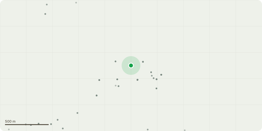
Approximate location
Proposal
GC010213 Yew (Common) 8 Sever and Remove Ivy to 1.5m Above Ground Level GC010214 Lime TPO'd no.672. ref TPO/201/123.. Exudate/slime flux at 4m in decay pocket Remove Epicormic Growth to Crown Break to enable future inspection and lift over footpath GC010215 Lime TPO'd no.672 ref TPO/201/123 Remove Epicormic Growth to Crown Break to enable future inspection and lift over footpath GC010215 Lime Remove Dead Wood Over 50mm Diameter GC010216 Lime TPO'd no.672 ref TPO/201/123 Remove Epicormic Growth to Crown Break to enable future inspection and lift over footpath GC010216 Lime Remove Dead Wood Over 50mm Diameter GC010220 False Acacia Suspected Cavity in main stem. Significant lean Reduce Crown in Height (by 3m) and Shape Mewp GC010226 Sycamore 2 Fell to Ground Level (Section Fell) Fell x2 main stems. Stack timber in situ GC010232 Holm Oak (Evergreen) Client Action Requires proffessional arboricultural inspection Client to Inform Tree Owner GC010238 Sycamore Sever and Remove Ivy to 1.5m Above Ground Level GC010222 Lebanese Cedar "Outstanding tree of importance that has lived with structural issues for a considerable amount of time. Very heighest branches intertwine and provide a form of natural bracing. It is considered necessary to add conventional bracing to aid this" Install Cable Brace (Flexible or Rigid) "Install Cable Brace (cobra) at approx 16m between SE main stem and NW main stem. Distance approx 6m width with shocks"
Planning history / related applications
No related planning applications have been identified in the current public OGL dataset.
Inside plotEdge
Go beyond the public record
This page is the public OGL record. plotEdge adds the private intelligence layer for this site - open it in the app to unlock:
- Ownership & title Registered owner and title from HM Land Registry.
- Viability & build potential Site scoring and development upside.
- Constraints Flood risk, green belt, conservation areas and designations.
- Approval signal Planning risk and approval-likelihood analysis.
- Comparable applications Decisions on similar nearby sites, side by side.
- Status alerts Get notified the moment this application changes.
Source: public planning application data from Stratford-on-Avon, reused under the Open Government Licence v3.0. View the council source record. Council documents and drawings are not republished on plotEdge.