Stevenage
Stevenage/26/00547/ENQ10
39 Ripon Road Stevenage Herts SG1 4LN
- Reference
- Stevenage/26/00547/ENQ10
- Authority
- Stevenage
- Application type
- ENQ
- Address
- 39 Ripon Road Stevenage Herts SG1 4LN
- Postcode
- SG1 4LN
- Status
- Awaiting decision
- Received
- 24 Jul 2026
- Started
- 24 Jul 2026
- Source council
- Stevenage
- Council source record
- View public record
- Public data licence
- Open Government Licence v3.0
- Record updated
- 30 Jul 2026
- SEO index generated
- 31 Jul 2026
Location
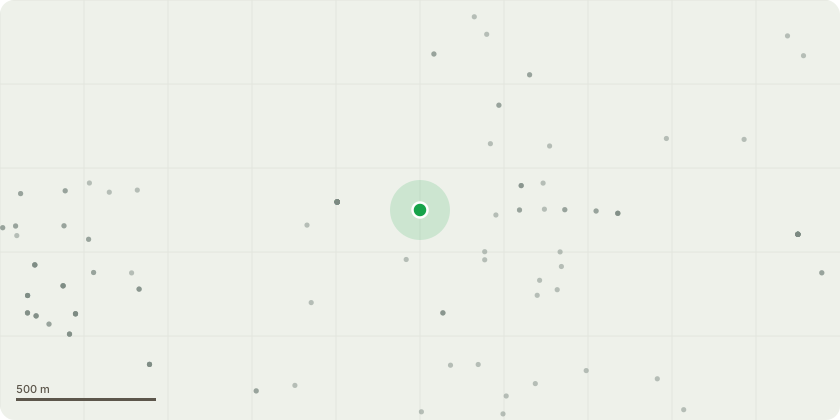
Approximate location
Proposal
I am looking to install an EV charger at my house, however there are a few issues that need to be address. The first issue is that there is not a designated parking space on the road and it is a shared parking on the road. The second issue is on the side of the house, and where the EV charged will be installed, there is a hedge between the house and the parking spaces.I have had an electrician visit to survey the house and advise where the best place is to install the EV charger given the situation and he has advised on the side of the house, and to create somewhere of a path between the side of the house, through the hedges, to the parking spaces.I have uploaded a number of pictures to illustrate the challenges. On the first picture, with the red circle, this shows where the EV charger will be installed, and the hedges that are on the side of the house. The picture also shows the distance between the side of the house and the parking spaces. The second picture shows the hedges that are in front of the side of the house where we would like to create a pathway.Could you please advise the feasibility and possibility of creating a pathway through the hedges in order to have a path between the EV charger and my car and what are the next actions? I am keen to open a dialogue to find the best way to get an EV charger installed at my house
Key dates
- Received 24 Jul 2026
- Started 24 Jul 2026
Planning history / related applications
No related planning applications have been identified in the current public OGL dataset.
Inside plotEdge
Go beyond the public record
This page is the public OGL record. plotEdge adds the private intelligence layer for this site - open it in the app to unlock:
- Ownership & title Registered owner and title from HM Land Registry.
- Viability & build potential Site scoring and development upside.
- Constraints Flood risk, green belt, conservation areas and designations.
- Approval signal Planning risk and approval-likelihood analysis.
- Comparable applications Decisions on similar nearby sites, side by side.
- Status alerts Get notified the moment this application changes.
Source: public planning application data from Stevenage, reused under the Open Government Licence v3.0. View the council source record. Council documents and drawings are not republished on plotEdge.