Staffordshire Moorlands
Staffordshire Moorlands/SMD/2026/0342
Market Place , High Street , Cheadle , Staffordshire , ST10 1AJ
- Reference
- Staffordshire Moorlands/SMD/2026/0342
- Authority
- Staffordshire Moorlands
- Address
- Market Place , High Street , Cheadle , Staffordshire , ST10 1AJ
- Postcode
- ST10 1AJ
- Status
- Invalid application
- Decision
- Application Invalid
- Received
- 17 Jul 2026
- Started
- 17 Jul 2026
- Source council
- Staffordshire Moorlands
- Council source record
- View public record
- Public data licence
- Open Government Licence v3.0
- Record updated
- 30 Jul 2026
- SEO index generated
- 31 Jul 2026
Location
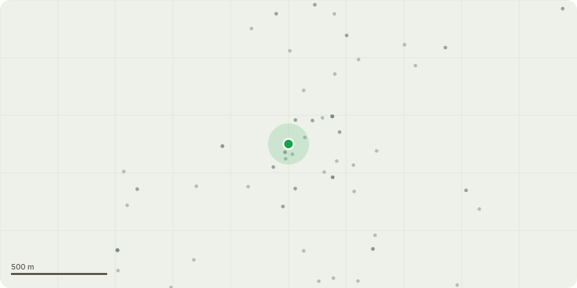
Approximate location
Proposal
The application seeks full planning permission for the comprehensive refurbishment, enhancement and expansion of Cheadle Market Hall and Market Square. The scheme comprises the refurbishment and reconfiguration of the existing Market Hall to create a modern food hall destination centred around four food and beverage units and communal seating, together with external alterations including new doors, glazing and brickwork interventions. A new covered canopy is proposed adjacent to the Market Hall to provide flexible, weather-protected trading and event space, whilst additional permanent trader units will be introduced within the Market Square. Comprehensive public realm improvements are also proposed, including high-quality paving, integrated seating and new planting to create a more attractive, functional and welcoming civic space.
Key dates
- Received 17 Jul 2026
- Started 17 Jul 2026
Planning history / related applications
No related planning applications have been identified in the current public OGL dataset.
Inside plotEdge
Go beyond the public record
This page is the public OGL record. plotEdge adds the private intelligence layer for this site - open it in the app to unlock:
- Ownership & title Registered owner and title from HM Land Registry.
- Viability & build potential Site scoring and development upside.
- Constraints Flood risk, green belt, conservation areas and designations.
- Approval signal Planning risk and approval-likelihood analysis.
- Comparable applications Decisions on similar nearby sites, side by side.
- Status alerts Get notified the moment this application changes.
Source: public planning application data from Staffordshire Moorlands, reused under the Open Government Licence v3.0. View the council source record. Council documents and drawings are not republished on plotEdge.