Southwark
Southwark/26/AP/2033
South London Scout Centre Grange Lane London Southwark SE21 7LH
- Reference
- Southwark/26/AP/2033
- Authority
- Southwark
- Address
- South London Scout Centre Grange Lane London Southwark SE21 7LH
- Postcode
- SE21 7LH
- Status
- Under consideration/assessment
- Received
- 13 Jul 2026
- Started
- 13 Jul 2026
- Source council
- Southwark
- Council source record
- View public record
- Public data licence
- Open Government Licence v3.0
- Record updated
- 30 Jul 2026
- SEO index generated
- 31 Jul 2026
Location
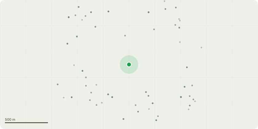
Approximate location
Proposal
Works to trees in a Conservation Area. Agreed specification tbc. Tree Risk-Benefit Management Strategy 12th June 2026 OR as LPA advised, belowT1 Lombardy Poplar. Fell to Ground Level.T2 Lombardy Poplar. Large Trunk wound. Fell to Ground Level.T3 Lombardy Poplar. Fire Damaged. Fell to Ground Level. Review fire protocols. i.e.; no fires within 5m of any tree and 2m away from any canopy.T4 Hybrid Poplar. Reduce to 1m Above Ground Level (AGL).T5 Lombardy Poplar. 50% reduction back to live wood, leaving a 10m high tree.T6 Lombardy Poplar. 50% reduction back to live wood, leaving a 10m high tree.T7 Carolina Poplar. Fell to Ground LevelT8 Carolina Poplar Further testing required. PICUS. Wound occlusion and physiology appear GOOD.T9 Carolina Poplar. Good rib formation. Reduce to 4m AGL and retain as monolith for biodiversity.T10 Crack Willow. Reduce to previous reduction points, retaining knuckles.T11 Carolina Poplar. Remove specified branch. Move Mobile Home to designated parking area or install no-dig 3D geocellular ground protection within RPA. Remove rope from stem or install cambium saver.T12 European Ash. scar indicates failure of a bifurcated stemmed tree. Reduce to 4m AGL and retain as monolith.T13. Wild Cherry. Fell to Ground Level. Dead TreeT14 Lombardy Poplar. Crown Dieback. Reduce to 6m AGL. Crown DiebackT15 Lombardy Poplar. Dead Tree, Fell to Ground Level.
Key dates
- Received 13 Jul 2026
- Started 13 Jul 2026
Planning history / related applications
No related planning applications have been identified in the current public OGL dataset.
Inside plotEdge
Go beyond the public record
This page is the public OGL record. plotEdge adds the private intelligence layer for this site - open it in the app to unlock:
- Ownership & title Registered owner and title from HM Land Registry.
- Viability & build potential Site scoring and development upside.
- Constraints Flood risk, green belt, conservation areas and designations.
- Approval signal Planning risk and approval-likelihood analysis.
- Comparable applications Decisions on similar nearby sites, side by side.
- Status alerts Get notified the moment this application changes.
Source: public planning application data from Southwark, reused under the Open Government Licence v3.0. View the council source record. Council documents and drawings are not republished on plotEdge.