Southwark
Southwark/26/AP/1850
1 One Tree Close London Southwark SE23 3QZ
- Reference
- Southwark/26/AP/1850
- Authority
- Southwark
- Address
- 1 One Tree Close London Southwark SE23 3QZ
- Postcode
- SE23 3QZ
- Status
- Under consideration/assessment
- Received
- 26 Jun 2026
- Started
- 26 Jun 2026
- Source council
- Southwark
- Council source record
- View public record
- Public data licence
- Open Government Licence v3.0
- Record updated
- 18 Jul 2026
- SEO index generated
- 24 Jul 2026
Location
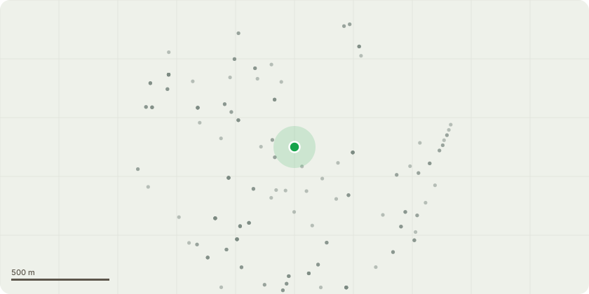
Approximate location
Proposal
One Tree Close(G6) Mixed Species group: Whitebeam, Hawthorn, Plum, Hazel, DogwoodReduce overhang back to edge of pavement.DBH 75-150mmHeight 2-6mCrown spread 0.5-3m?Densely planted on embankment.?Overhang at eastern end of group obscuring light throw over steps.(G15) Mixed Species Group: Ash, Plum ElderEstablish ownership and remove to ground level where possible, otherwise selectively prunecrowns to provide clearance from garage building.DBH 75mmHeight 6.0mCrown spread 3.0m?Overgrown self-set specimens along rear of garage block.?Blocking maintenance access alley.?Crowns in contact with roof.(T16) SycamoreClear Access to and around the base of the tree, sever Ivy and remove from tree.DBH 400mmHeight 16.0mCrown spread 5.0m?Tree is inaccessible due to dense understory.?Ivy covered stem to 6 m.Please note that we did not perform the large rip cut on T18 - this is unauthorised pruningpotentially, instructed by neighbours to rear. There is also a rip cut on small plum sapling onG6, potentially done by gardeners or residents.
Key dates
- Received 26 Jun 2026
- Started 26 Jun 2026
Planning history / related applications
No related planning applications have been identified in the current public OGL dataset.
Inside plotEdge
Go beyond the public record
This page is the public OGL record. plotEdge adds the private intelligence layer for this site - open it in the app to unlock:
- Ownership & title Registered owner and title from HM Land Registry.
- Viability & build potential Site scoring and development upside.
- Constraints Flood risk, green belt, conservation areas and designations.
- Approval signal Planning risk and approval-likelihood analysis.
- Comparable applications Decisions on similar nearby sites, side by side.
- Status alerts Get notified the moment this application changes.
Source: public planning application data from Southwark, reused under the Open Government Licence v3.0. View the council source record. Council documents and drawings are not republished on plotEdge.