Southwark
Southwark/26/AP/1846
123 Grove Park London Southwark SE5 8LD
- Reference
- Southwark/26/AP/1846
- Authority
- Southwark
- Address
- 123 Grove Park London Southwark SE5 8LD
- Postcode
- SE5 8LD
- Status
- Granted
- Decision
- Tree Works/Conservation Area - GRANTED
- Received
- 25 Jun 2026
- Validated
- 26 Jun 2026
- Started
- 26 Jun 2026
- Decided
- 1 Jul 2026
- Source council
- Southwark
- Council source record
- View public record
- Public data licence
- Open Government Licence v3.0
- Record updated
- 18 Jul 2026
- SEO index generated
- 24 Jul 2026
Location
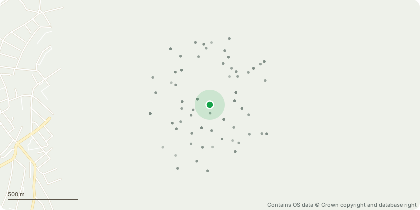
Approximate location - Contains OS data © Crown copyright and database right
Proposal
Tree works 5 day notification as amended:T14 and Sapling (East roadside corner) both have suffered wind damage. Works include removal of hanging and snapped branches and lateral reduction of any damaged limbs back to the next suitable live lateral.T6 - Fell to ground level only. A replacement tree is proposed to be a heavy standard lime or similar species with the exact location to be confirmed but currently suggested to be near the west boundary in proximity to the existing tree location.T38- Reduce the main leader affected by Inonotus fungal decay and cavity, cutting back below the affected area into solid live wood (not exceeding the co-dominant union below Reduce remaining main leaders to an appropriate and consistent height, or to suitable side laterals where present. Works to be guided on site by the tree surgeon during climbing operations, with input from the tree consultant as required. A programme of regrowth management will be implemented, including an inspection in approximately 5 years time, with selective thinning of regrowth (approximately two-thirds) to retain the strongest growth and support the development of a balanced crown structure.
Key dates
- Received 25 Jun 2026
- Validated 26 Jun 2026
- Started 26 Jun 2026
- Decided 1 Jul 2026
Planning history / related applications
No related planning applications have been identified in the current public OGL dataset.
Inside plotEdge
Go beyond the public record
This page is the public OGL record. plotEdge adds the private intelligence layer for this site - open it in the app to unlock:
- Ownership & title Registered owner and title from HM Land Registry.
- Viability & build potential Site scoring and development upside.
- Constraints Flood risk, green belt, conservation areas and designations.
- Approval signal Planning risk and approval-likelihood analysis.
- Comparable applications Decisions on similar nearby sites, side by side.
- Status alerts Get notified the moment this application changes.
Source: public planning application data from Southwark, reused under the Open Government Licence v3.0. View the council source record. Council documents and drawings are not republished on plotEdge.