Southwark
Southwark/26/AP/1776
Tower Bridge Business Complex 100 Clements Road Aka Biscuit Factory And Bermondsey Campus Site Keetons Road London SE16 4DG
- Reference
- Southwark/26/AP/1776
- Authority
- Southwark
- Address
- Tower Bridge Business Complex 100 Clements Road Aka Biscuit Factory And Bermondsey Campus Site Keetons Road London SE16 4DG
- Postcode
- SE16 4DG
- Status
- Under consideration/assessment
- Received
- 19 Jun 2026
- Started
- 19 Jun 2026
- Source council
- Southwark
- Council source record
- View public record
- Public data licence
- Open Government Licence v3.0
- Record updated
- 18 Jul 2026
- SEO index generated
- 24 Jul 2026
Location
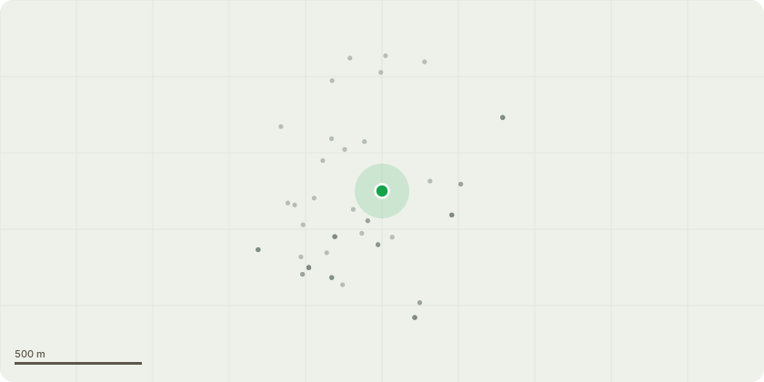
Approximate location
Proposal
Non material amendment of planning permission ref. 23/AP/2124 (for the redevelopment of the Biscuit Factory and Campus Site). The NMA seeks amendments to the approved drawings relating to Building DE including:Ground floor - Some doors have changed from double to leaf and a half, and some double doors changed to single doors. Fascia panel has been introduced within roller shutter. Louvres replaced by fascia panels within louvred sections of elevation. Adjustment to portal height and setting out of mullions within spandrel panel.Level 03 - Height of plant screen increased by 800mm. Window cill raised to accommodate ramp to roof terrace. Ventilation louvres in overhead panel have become full width. Inclusion of pergola to roof terrace as approved by condition 25. Level 21 - South-West corner of plant enclosure at L21 chamfered to allow for sufficient clearance from MEP. Layout and number of PV panels updated to be aligned with condition 34. Raised height of AOV.Level 22 - Height of AOV increased by 370mm due to construction and waterproofing constraints. All floors - General update to setting out of internal elements with no changes to area.
Key dates
- Received 19 Jun 2026
- Started 19 Jun 2026
Planning history / related applications
No related planning applications have been identified in the current public OGL dataset.
Inside plotEdge
Go beyond the public record
This page is the public OGL record. plotEdge adds the private intelligence layer for this site - open it in the app to unlock:
- Ownership & title Registered owner and title from HM Land Registry.
- Viability & build potential Site scoring and development upside.
- Constraints Flood risk, green belt, conservation areas and designations.
- Approval signal Planning risk and approval-likelihood analysis.
- Comparable applications Decisions on similar nearby sites, side by side.
- Status alerts Get notified the moment this application changes.
Source: public planning application data from Southwark, reused under the Open Government Licence v3.0. View the council source record. Council documents and drawings are not republished on plotEdge.