Southwark
Southwark/26/AP/1325
Church Of St Thomas More 380 Lordship Lane London Southwark SE22 8ND
- Reference
- Southwark/26/AP/1325
- Authority
- Southwark
- Address
- Church Of St Thomas More 380 Lordship Lane London Southwark SE22 8ND
- Postcode
- SE22 8ND
- Status
- Withdrawn
- Decision
- Application Withdrawn
- Received
- 7 May 2026
- Validated
- 8 May 2026
- Started
- 8 May 2026
- Decided
- 16 Jun 2026
- Source council
- Southwark
- Council source record
- View public record
- Public data licence
- Open Government Licence v3.0
- Record updated
- 18 Jul 2026
- SEO index generated
- 24 Jul 2026
Location
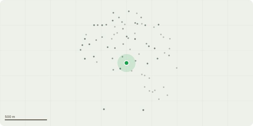
Approximate location
Proposal
Amended Description: Replacements in line with Dulwich Estate Licence. Tree ID T1 Clear stem to 2.4m above ground level. Laterally reduce to 1m away from garage. Tree ID T3 Reduce back to previous pollard points as pollarding is now lapsed. Tree ID T4 Fell and treat with systemic herbicide (Eco-Plug). Tree ID T5 Pollard to previous pollard points to reduce pressure on decay point. Tree ID T10 Re-pollard at 4m due to decay and reduce adjacent tree T2 possibly T8 by 2m to compensate for loss of companion shelter. Tree ID G2 Re-pollard stem. Tree ID G4 Remove Bay Laurel. Tree ID T11 Fell to ground level and remove stump replant with same species in planting season following removal. Tree ID G5 Reduce Elder stem closest to the wall back to ground level. Tree ID T13 Create pollard structure. Reduce by 8m back to closest growth points. Tree ID T14 Remove deadwood over 50mm in diameter. Tree ID T15 Deadwood removal. Tree ID T12 Re-pollard. Tree ID G3 Remove. Tree ID G1 Remove 2 x dead stems. Tree ID T9 Re-pollard. Tree ID T7 Re-pollard.
Key dates
- Received 7 May 2026
- Validated 8 May 2026
- Started 8 May 2026
- Decided 16 Jun 2026
Planning history / related applications
No related planning applications have been identified in the current public OGL dataset.
Inside plotEdge
Go beyond the public record
This page is the public OGL record. plotEdge adds the private intelligence layer for this site - open it in the app to unlock:
- Ownership & title Registered owner and title from HM Land Registry.
- Viability & build potential Site scoring and development upside.
- Constraints Flood risk, green belt, conservation areas and designations.
- Approval signal Planning risk and approval-likelihood analysis.
- Comparable applications Decisions on similar nearby sites, side by side.
- Status alerts Get notified the moment this application changes.
Source: public planning application data from Southwark, reused under the Open Government Licence v3.0. View the council source record. Council documents and drawings are not republished on plotEdge.