Southwark
Southwark/26/AP/1120
Dulwich Estate Village Orchard 20 Gallery Road London Southwark SE21 7AE
- Reference
- Southwark/26/AP/1120
- Authority
- Southwark
- Address
- Dulwich Estate Village Orchard 20 Gallery Road London Southwark SE21 7AE
- Postcode
- SE21 7AE
- Status
- Granted
- Decision
- Tree Works/Conservation Area - GRANTED
- Received
- 16 Apr 2026
- Validated
- 17 Apr 2026
- Started
- 17 Apr 2026
- Decided
- 21 May 2026
- Source council
- Southwark
- Council source record
- View public record
- Public data licence
- Open Government Licence v3.0
- Record updated
- 18 Jul 2026
- SEO index generated
- 24 Jul 2026
Location
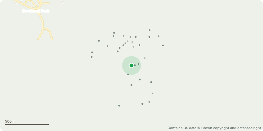
Approximate location - Contains OS data © Crown copyright and database right
Proposal
Part Retrospective Works consist of crown lifting of predominantly Holm oak, and some Holly to 2m above ground level, to provide visibility.Some multi stem hollies with stems less than 75mm in diameter have been recoppiced and will be managed as coppice stools. Removal of T7684 Holm Oak with DBH of 29cm. Very poor form, due to suppression from adjacent trees. position of T7684 indicated in embedded image. No replacement proposed due to 4 additional trees having just been planted on site and aspiration for thinning, Additionally, area has had removal of Common Snow Berry, and both Japanese and Cherry Laurel. Thinning for improvement to surrounding retained trees as well as to abate issues surrounding public safety.Cleared shrubs to be replaced with low level cover.
Key dates
- Received 16 Apr 2026
- Validated 17 Apr 2026
- Started 17 Apr 2026
- Decided 21 May 2026
Planning history / related applications
No related planning applications have been identified in the current public OGL dataset.
Inside plotEdge
Go beyond the public record
This page is the public OGL record. plotEdge adds the private intelligence layer for this site - open it in the app to unlock:
- Ownership & title Registered owner and title from HM Land Registry.
- Viability & build potential Site scoring and development upside.
- Constraints Flood risk, green belt, conservation areas and designations.
- Approval signal Planning risk and approval-likelihood analysis.
- Comparable applications Decisions on similar nearby sites, side by side.
- Status alerts Get notified the moment this application changes.
Source: public planning application data from Southwark, reused under the Open Government Licence v3.0. View the council source record. Council documents and drawings are not republished on plotEdge.