Southwark
Southwark/26/AP/1016
Railway Arches 895 And 896 Holyrood Street London Southwark SE1 2EL
- Reference
- Southwark/26/AP/1016
- Authority
- Southwark
- Address
- Railway Arches 895 And 896 Holyrood Street London Southwark SE1 2EL
- Postcode
- SE1 2EL
- Status
- Under consideration/assessment
- Received
- 10 Apr 2026
- Started
- 10 Apr 2026
- Source council
- Southwark
- Council source record
- View public record
- Public data licence
- Open Government Licence v3.0
- Record updated
- 18 Jul 2026
- SEO index generated
- 24 Jul 2026
Location
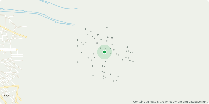
Approximate location - Contains OS data © Crown copyright and database right
Proposal
Details of Condition 6 'Service Management Plan' required by planning permission ref no. 25/AP/1152 'Variation of Condition 1 of planning permission ref. 23/AP/0370 dated 15/04/2025 for 'Change of use of Arches 895, 896, 897, 898 and 899 to Sui Generis (public houses, wine bars, or drinking establishments (and with expanded food provision), use class E(a) Display or retail sale of goods, other than hot food; use class E(b) Sale of food and drink for consumption (mostly) on the premises; use class E(d) Indoor sport, recreation or fitness (not involving motorised vehicles or firearms or use as a swimming pool or skating rink); use class E(g)(i) Offices to carry out any operational or administrative processes (which can be carried out in a residential area without detriment to amenity) and use class E(g)(iii) Industrial processes (which can be carried out in a residential area without detriment to amenity) and external alterations to the front facade treatments and the footway and drop kerbs.' The amendment seeks to make changes to the external facade treatment of the arches'.
Key dates
- Received 10 Apr 2026
- Started 10 Apr 2026
Planning history / related applications
No related planning applications have been identified in the current public OGL dataset.
Inside plotEdge
Go beyond the public record
This page is the public OGL record. plotEdge adds the private intelligence layer for this site - open it in the app to unlock:
- Ownership & title Registered owner and title from HM Land Registry.
- Viability & build potential Site scoring and development upside.
- Constraints Flood risk, green belt, conservation areas and designations.
- Approval signal Planning risk and approval-likelihood analysis.
- Comparable applications Decisions on similar nearby sites, side by side.
- Status alerts Get notified the moment this application changes.
Source: public planning application data from Southwark, reused under the Open Government Licence v3.0. View the council source record. Council documents and drawings are not republished on plotEdge.