Southwark
Southwark/26/AP/0891
35 Dovercourt Road London Southwark SE22 8SS
- Reference
- Southwark/26/AP/0891
- Authority
- Southwark
- Address
- 35 Dovercourt Road London Southwark SE22 8SS
- Postcode
- SE22 8SS
- Status
- Granted
- Decision
- Tree Works/Conservation Area - GRANTED
- Received
- 26 Mar 2026
- Validated
- 28 Apr 2026
- Started
- 28 Apr 2026
- Decided
- 8 Jun 2026
- Source council
- Southwark
- Council source record
- View public record
- Public data licence
- Open Government Licence v3.0
- Record updated
- 18 Jul 2026
- SEO index generated
- 24 Jul 2026
Location
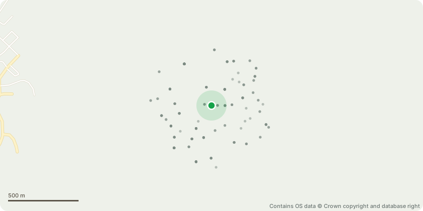
Approximate location - Contains OS data © Crown copyright and database right
Proposal
Works to tree with a TCA: Tree ID 7488: A bay tree approximately 6m in height situated close to the house on the left-hand side. The specimin has become excessively vigorous for its location and has limited aesthetic value. Remove after ensuring there are no birds nesting. A replacement tree is to be planted in a convenient location of the rear garden and below are the three alternative species for consideration: Prunus Pandora (Small Pink flowering Cherry) Prunus Amanogawa (Flagpole Cherry) Malus toringo (Japanese Crab Apple)The new tree should be planted during the October 2026 and March 2027 planting season with a stem girth of between 10-12cm at 1m above ground level and at a minimum height of 2m.
Key dates
- Received 26 Mar 2026
- Validated 28 Apr 2026
- Started 28 Apr 2026
- Decided 8 Jun 2026
Planning history / related applications
No related planning applications have been identified in the current public OGL dataset.
Inside plotEdge
Go beyond the public record
This page is the public OGL record. plotEdge adds the private intelligence layer for this site - open it in the app to unlock:
- Ownership & title Registered owner and title from HM Land Registry.
- Viability & build potential Site scoring and development upside.
- Constraints Flood risk, green belt, conservation areas and designations.
- Approval signal Planning risk and approval-likelihood analysis.
- Comparable applications Decisions on similar nearby sites, side by side.
- Status alerts Get notified the moment this application changes.
Source: public planning application data from Southwark, reused under the Open Government Licence v3.0. View the council source record. Council documents and drawings are not republished on plotEdge.