Southwark
Southwark/26/AP/0812
The Shard 32 London Bridge Street London Southwark SE1 9SG
- Reference
- Southwark/26/AP/0812
- Authority
- Southwark
- Address
- The Shard 32 London Bridge Street London Southwark SE1 9SG
- Postcode
- SE1 9SG
- Status
- Decided
- Decision
- Agreed - for App Types VLA and VNMC
- Received
- 20 Mar 2026
- Validated
- 23 Mar 2026
- Started
- 23 Mar 2026
- Decided
- 29 Apr 2026
- Source council
- Southwark
- Council source record
- View public record
- Public data licence
- Open Government Licence v3.0
- Record updated
- 18 Jul 2026
- SEO index generated
- 24 Jul 2026
Location
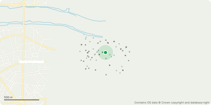
Approximate location - Contains OS data © Crown copyright and database right
Proposal
Non-material amendment of planning permission ref. 11/AP/3258 (Amendments during construction to planning permission granted 18.11.03 (ref 01-AP-0476) for demolition of the existing Southwark Towers & construction of a mixed use building totalling 124,242sqm gross, comprising offices (Class B1), hotel (Class C1), fourteen apartments (Class C3), retail and restaurant uses (Class A1/A3), health and fitness club and associated servicing and car parking (currently under construction). Amendments include: reconfiguration of floor layouts; remodelling of ground floor elevations; new escalator exit to station concourse; revised layout to retail space and minor facade alterations). The proposed amendments include: Alterations to the walling of the stair and lift core at levels 69 to 74 to replace the existing glazed panels with insulated metal sandwich panels. At level 72-74 (triple height space), replacement of roof system and bar design and the relocation of existing high-level services, along with the removal of astroturf floor finish and replacement with porcelain tile finish
Key dates
- Received 20 Mar 2026
- Validated 23 Mar 2026
- Started 23 Mar 2026
- Decided 29 Apr 2026
Planning history / related applications
No related planning applications have been identified in the current public OGL dataset.
Inside plotEdge
Go beyond the public record
This page is the public OGL record. plotEdge adds the private intelligence layer for this site - open it in the app to unlock:
- Ownership & title Registered owner and title from HM Land Registry.
- Viability & build potential Site scoring and development upside.
- Constraints Flood risk, green belt, conservation areas and designations.
- Approval signal Planning risk and approval-likelihood analysis.
- Comparable applications Decisions on similar nearby sites, side by side.
- Status alerts Get notified the moment this application changes.
Source: public planning application data from Southwark, reused under the Open Government Licence v3.0. View the council source record. Council documents and drawings are not republished on plotEdge.