Southwark
Southwark/26/AP/0759
32 Sutherland Square London Southwark SE17 3EQ
- Reference
- Southwark/26/AP/0759
- Authority
- Southwark
- Address
- 32 Sutherland Square London Southwark SE17 3EQ
- Postcode
- SE17 3EQ
- Status
- Granted
- Decision
- Tree Works/Conservation Area - GRANTED
- Received
- 16 Mar 2026
- Validated
- 17 Mar 2026
- Started
- 17 Mar 2026
- Decided
- 20 Apr 2026
- Source council
- Southwark
- Council source record
- View public record
- Public data licence
- Open Government Licence v3.0
- Record updated
- 18 Jul 2026
- SEO index generated
- 24 Jul 2026
Location
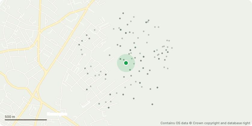
Approximate location - Contains OS data © Crown copyright and database right
Proposal
Works to a tree with a TCA: T1- Acer pseudoplatanus (Sycamore) located in the rear garden of 32 Sutherland Square, adjacent to the rear boundary wall.Description of proposed works: Removal of one Acer pseudoplatanus (Sycamore).The tree is leaning toward the rear boundary wall which separates the garden from a public footpath and highway. The base of the trunk shows cracking and dieback and there are roots protruding from the ground on the leaning side. Evidence of structural damage to the boundary wall is present, including a vertical crack in the brickwork that continues into the public highway.An arboricultural assessment by Earthcraft Ltd recommends removal due to the tree condition, lean and the risk of further structural damage to the boundary wall and potential safety risk to pedestrians and property.Replacement planting is proposed with two native trees: Betula pendula (Silver Birch) and Acer campestre (Field Maple), to enhance local ecology and maintain canopy cover.
Key dates
- Received 16 Mar 2026
- Validated 17 Mar 2026
- Started 17 Mar 2026
- Decided 20 Apr 2026
Planning history / related applications
No related planning applications have been identified in the current public OGL dataset.
Inside plotEdge
Go beyond the public record
This page is the public OGL record. plotEdge adds the private intelligence layer for this site - open it in the app to unlock:
- Ownership & title Registered owner and title from HM Land Registry.
- Viability & build potential Site scoring and development upside.
- Constraints Flood risk, green belt, conservation areas and designations.
- Approval signal Planning risk and approval-likelihood analysis.
- Comparable applications Decisions on similar nearby sites, side by side.
- Status alerts Get notified the moment this application changes.
Source: public planning application data from Southwark, reused under the Open Government Licence v3.0. View the council source record. Council documents and drawings are not republished on plotEdge.