Southwark
Southwark/26/AP/0719
46 Grove Park London Southwark SE5 8LG
- Reference
- Southwark/26/AP/0719
- Authority
- Southwark
- Address
- 46 Grove Park London Southwark SE5 8LG
- Postcode
- SE5 8LG
- Status
- Granted
- Decision
- Tree Works/Conservation Area - GRANTED
- Received
- 12 Mar 2026
- Validated
- 12 Mar 2026
- Started
- 12 Mar 2026
- Decided
- 7 Apr 2026
- Source council
- Southwark
- Council source record
- View public record
- Public data licence
- Open Government Licence v3.0
- Record updated
- 18 Jul 2026
- SEO index generated
- 24 Jul 2026
Location
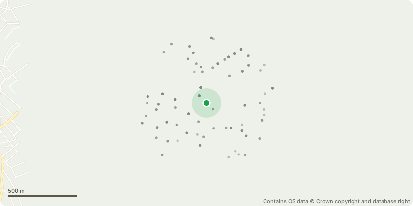
Approximate location - Contains OS data © Crown copyright and database right
Proposal
Works to tree with a TCA: T1 - Ash tree (the thin stemmed ash tree half way down the left hand side is to have a reduction of approximately two meters, reducing the canopy to just above the crown break. This tree has a heavy low limb that is reaching and hanging over the client's garden that suggests a risk of breaking off. Reducing this limb in and then pruning the remaining of the canopy will balance the crown). T2- Triple stemmed sycamore (to reduce the triple stemmed sycamore that lies on the border of my client's property and the neighbours. To reduce this tree again by approximately two meters to provide more light to all surrounding gardens and assist with autumn time maintenance. To also remove the smaller and least substantial of the stems as this one encroaches further towards my client's lawn). All pruning cuts will be made to BS3889 standards and will be taken back to natural target growth to beget the healthiest regrowth circumstances.
Key dates
- Received 12 Mar 2026
- Validated 12 Mar 2026
- Started 12 Mar 2026
- Decided 7 Apr 2026
Planning history / related applications
No related planning applications have been identified in the current public OGL dataset.
Inside plotEdge
Go beyond the public record
This page is the public OGL record. plotEdge adds the private intelligence layer for this site - open it in the app to unlock:
- Ownership & title Registered owner and title from HM Land Registry.
- Viability & build potential Site scoring and development upside.
- Constraints Flood risk, green belt, conservation areas and designations.
- Approval signal Planning risk and approval-likelihood analysis.
- Comparable applications Decisions on similar nearby sites, side by side.
- Status alerts Get notified the moment this application changes.
Source: public planning application data from Southwark, reused under the Open Government Licence v3.0. View the council source record. Council documents and drawings are not republished on plotEdge.