Southwark
Southwark/26/AP/0713
74-82 Rye Lane In Front Of Peckham Rye Station And 2-10 Blenheim Grove London SE15 4RY
- Reference
- Southwark/26/AP/0713
- Authority
- Southwark
- Address
- 74-82 Rye Lane In Front Of Peckham Rye Station And 2-10 Blenheim Grove London SE15 4RY
- Postcode
- SE15 4RY
- Status
- Granted
- Decision
- AOD - Granted
- Received
- 11 Mar 2026
- Validated
- 12 Mar 2026
- Started
- 12 Mar 2026
- Decided
- 22 Jun 2026
- Source council
- Southwark
- Council source record
- View public record
- Public data licence
- Open Government Licence v3.0
- Record updated
- 18 Jul 2026
- SEO index generated
- 24 Jul 2026
Location
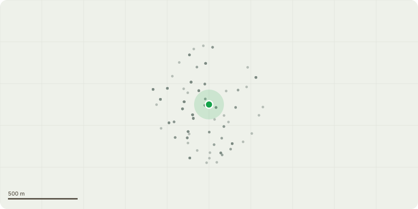
Approximate location
Proposal
Details of Condition 14 (Surface water drainage strategy) pursuant to planning permission 23/AP/3112 (Variation of Condition 1 (Approved plans) to planning permission 18/AP/2840 'Variation of Condition 1 (Approved plans) of planning permission 15/AP/4337 (Creation of a new public square between Peckham Rye Station and Rye Lane following demolition of the arcade buildings currently located between the north and south railway viaducts; refurbishment of the railway arches facing onto the new square and refurbishment and erection of a two storey extension to the building at 2-10 Blenheim Grove / 82 Rye Lane, to provide A1 (retail), A2 (financial and professional), A3 (restaurant / cafe), A5 (hot food takeaway), B1a (offices) and D1 (non-residential institution) uses, together with hard landscaping, public WC and other associated works.) comprisingIncrease in the overall height of extension by 500mm;Reduction in plan size of Blenheim Grove extension;Provision of boundary fence along railway parapet wall;Alterations to elevations including location of windows, louvres and inclusion of fixed access ladder and Boundary fencing.' for the following amendments:- Adjustments to the fenestration and shop fronts on the Blenheim Grove building- Adjustment and addition of ventilation louvres- Changes to the internal layouts- Former Use Classes A1, A2, A3, A5, B1a and D1 to be Use Classes E (Commercial, business and service) and F2 (Local community)- Modification of the number and location of columns beneath Platform 3 on the north side of the square- Modification of the platform screen forming the south face of Platform 3 at high level)
Key dates
- Received 11 Mar 2026
- Validated 12 Mar 2026
- Started 12 Mar 2026
- Decided 22 Jun 2026
Planning history / related applications
No related planning applications have been identified in the current public OGL dataset.
Inside plotEdge
Go beyond the public record
This page is the public OGL record. plotEdge adds the private intelligence layer for this site - open it in the app to unlock:
- Ownership & title Registered owner and title from HM Land Registry.
- Viability & build potential Site scoring and development upside.
- Constraints Flood risk, green belt, conservation areas and designations.
- Approval signal Planning risk and approval-likelihood analysis.
- Comparable applications Decisions on similar nearby sites, side by side.
- Status alerts Get notified the moment this application changes.
Source: public planning application data from Southwark, reused under the Open Government Licence v3.0. View the council source record. Council documents and drawings are not republished on plotEdge.