Southwark
Southwark/26/AP/0404
Bankside Yards (BY2) 64 Hopton Street London Southwark SE1 9JH
- Reference
- Southwark/26/AP/0404
- Authority
- Southwark
- Address
- Bankside Yards (BY2) 64 Hopton Street London Southwark SE1 9JH
- Postcode
- SE1 9JH
- Status
- Under consideration/assessment
- Received
- 12 Feb 2026
- Started
- 12 Feb 2026
- Source council
- Southwark
- Council source record
- View public record
- Public data licence
- Open Government Licence v3.0
- Record updated
- 18 Jul 2026
- SEO index generated
- 24 Jul 2026
Location
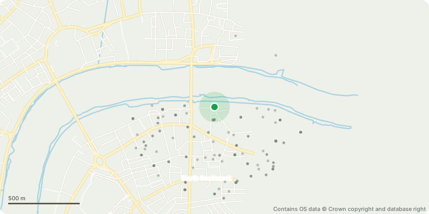
Approximate location - Contains OS data © Crown copyright and database right
Proposal
Non-material amendment (BY2) to planning permission ref: 12/AP/3940 (as amended by applications ref: 18/AP/3696, 18/AP/1702, and 17/AP/2286 (MMA) and applications ref: 24/AP/0284, 23/AP/2844, and 20/AP/1370 (NMA)) for the 'Demolition of existing buildings and the construction of a mixed use development totalling 144,622sqm GEA comprising 489 flats (Class C3), 45,378 sqm (including basement) of offices (Class B1), 2,627sqm of retail (Classes A1-A5), 1,969sqm of community uses (Class D1) and 1,014sqm of gym (Class D2)...'NMA sought:-Increase of parapet on top of 2nd stair extension;-Increase in depth of 'long bar' retail unit in ground floor colonnade;-Omission of two false colonnade columns;-Change of colonnade soffit material;-Amendment to main and secondary entrance canopies;-Changes to car drop-off soffit design;-Cut back of the resident's amenity deck at ground floor mezzanine level;-Change to the landscape design at ground floor; and-Other minor amendments
Key dates
- Received 12 Feb 2026
- Started 12 Feb 2026
Planning history / related applications
No related planning applications have been identified in the current public OGL dataset.
Inside plotEdge
Go beyond the public record
This page is the public OGL record. plotEdge adds the private intelligence layer for this site - open it in the app to unlock:
- Ownership & title Registered owner and title from HM Land Registry.
- Viability & build potential Site scoring and development upside.
- Constraints Flood risk, green belt, conservation areas and designations.
- Approval signal Planning risk and approval-likelihood analysis.
- Comparable applications Decisions on similar nearby sites, side by side.
- Status alerts Get notified the moment this application changes.
Source: public planning application data from Southwark, reused under the Open Government Licence v3.0. View the council source record. Council documents and drawings are not republished on plotEdge.