Southwark
Southwark/26/AP/0345
19 Maddock Way London Southwark SE17 3NH
- Reference
- Southwark/26/AP/0345
- Authority
- Southwark
- Address
- 19 Maddock Way London Southwark SE17 3NH
- Postcode
- SE17 3NH
- Status
- Granted
- Decision
- AOD - Granted
- Received
- 4 Feb 2026
- Validated
- 5 Feb 2026
- Started
- 5 Feb 2026
- Decided
- 10 Mar 2026
- Source council
- Southwark
- Council source record
- View public record
- Public data licence
- Open Government Licence v3.0
- Record updated
- 18 Jul 2026
- SEO index generated
- 24 Jul 2026
Location
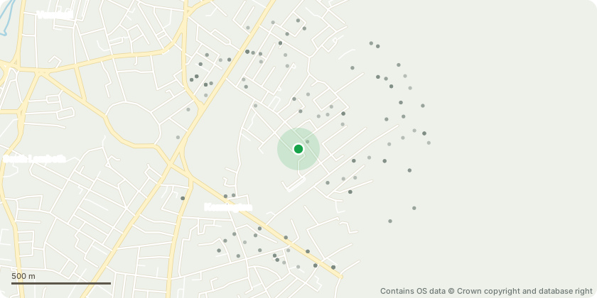
Approximate location - Contains OS data © Crown copyright and database right
Proposal
Details of Condition 4 (Bat tubes, bricks or boxes) as required by planning permission ref: 25/AP/1941 granted on 29.10.2025 for: 'Extension and external alterations to the existing building involving changes to entrances, doors, windows, fixed panel, materials, fire exits, ramps, balconies and balustrade and signage to carry out the folllowing:-Removal of existing external fire exit stair and its replacement with part single, part two-storey extension with biodiverse roof and 1 AOV,-New main entrance to the Youth Centre with new ramp -New signage to Brandon Youth Centre on NE elevation. -Louvre system, to hide external units on plant room roof,-Vertical risers to be cladded in exterior grade Acupanel in oak effect. -New fire exit to the Youth Centre on NW elevation, -Replace existing main entrance to the Brandon Youth Centre (NE elevation) to provide a new entrance to the Brandon Library with a new ramp.- Existing Library entrance to be replaced with a double-glazed fixed panel. - Enclosure of the existing two balcony on the NW elevation and reintegrate the space into the internal lobby.-Replace the current balustrade with new glazed panels, to coordinate with existing elevation.-Replace existing glazing with new glazing and new filler panels above,-Redecorate existing double-glazed glazing framework black, to coordinate with the new overall design. -Existing Mammoth Logo to be retained on NE elevation'
Key dates
- Received 4 Feb 2026
- Validated 5 Feb 2026
- Started 5 Feb 2026
- Decided 10 Mar 2026
Planning history / related applications
No related planning applications have been identified in the current public OGL dataset.
Inside plotEdge
Go beyond the public record
This page is the public OGL record. plotEdge adds the private intelligence layer for this site - open it in the app to unlock:
- Ownership & title Registered owner and title from HM Land Registry.
- Viability & build potential Site scoring and development upside.
- Constraints Flood risk, green belt, conservation areas and designations.
- Approval signal Planning risk and approval-likelihood analysis.
- Comparable applications Decisions on similar nearby sites, side by side.
- Status alerts Get notified the moment this application changes.
Source: public planning application data from Southwark, reused under the Open Government Licence v3.0. View the council source record. Council documents and drawings are not republished on plotEdge.