Southwark
Southwark/26/AP/0074
Dulwich Hamlet Football Club Edgar Kail Way London Southwark SE22 8BD
- Reference
- Southwark/26/AP/0074
- Authority
- Southwark
- Address
- Dulwich Hamlet Football Club Edgar Kail Way London Southwark SE22 8BD
- Postcode
- SE22 8BD
- Status
- Decided
- Decision
- Agreed - for App Types VLA and VNMC
- Received
- 12 Jan 2026
- Validated
- 13 Jan 2026
- Started
- 13 Jan 2026
- Decided
- 9 Feb 2026
- Source council
- Southwark
- Council source record
- View public record
- Public data licence
- Open Government Licence v3.0
- Record updated
- 18 Jul 2026
- SEO index generated
- 24 Jul 2026
Location
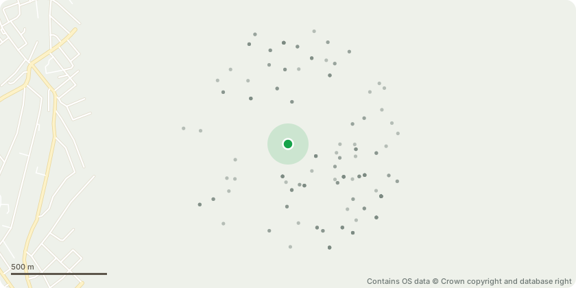
Approximate location - Contains OS data © Crown copyright and database right
Proposal
Non material amendment for planning permission 19/AP/1867 (as amended by NMA 25/AP/2018) for the Redevelopment of the Dulwich Hamlet Football (Champion Hill) Stadium, including the demolition of existing buildings, and use of land at Greendale to provide:- The erection of a new stadium with relocated playing pitch with associated floodlighting and boundary treatment, and part two-part three storey clubhouse building with sports and leisure facilities, with capacity for 4,000 spectators (Use Class D2);- The construction of a multi-functional kickabout space and associated boundary treatment;- The erection of a series of buildings to provide residential dwellings (Use Class C3);- Associated car parking, cycle parking, refuse storage and access road;- The widening and greening of a public route with associated hard and soft landscaping- The relocation of telecommunications equipment and re-provision of the substation together with plant and equipment.Amendments to insert storey heights and unit numbers into the description of development namely four to six storeys and 219 residential dwellings and amendments to Conditions 4, 5, 6 and 61 and removal of Conditions 59 and 60.
Key dates
- Received 12 Jan 2026
- Validated 13 Jan 2026
- Started 13 Jan 2026
- Decided 9 Feb 2026
Planning history / related applications
No related planning applications have been identified in the current public OGL dataset.
Inside plotEdge
Go beyond the public record
This page is the public OGL record. plotEdge adds the private intelligence layer for this site - open it in the app to unlock:
- Ownership & title Registered owner and title from HM Land Registry.
- Viability & build potential Site scoring and development upside.
- Constraints Flood risk, green belt, conservation areas and designations.
- Approval signal Planning risk and approval-likelihood analysis.
- Comparable applications Decisions on similar nearby sites, side by side.
- Status alerts Get notified the moment this application changes.
Source: public planning application data from Southwark, reused under the Open Government Licence v3.0. View the council source record. Council documents and drawings are not republished on plotEdge.