Southwark
Southwark/25/AP/3689
651-657 Old Kent Road London Southwark SE15 1JU
- Reference
- Southwark/25/AP/3689
- Authority
- Southwark
- Address
- 651-657 Old Kent Road London Southwark SE15 1JU
- Postcode
- SE15 1JU
- Status
- Granted
- Decision
- AOD - Granted
- Received
- 16 Dec 2025
- Validated
- 17 Dec 2025
- Started
- 17 Dec 2025
- Decided
- 3 Feb 2026
- Source council
- Southwark
- Council source record
- View public record
- Public data licence
- Open Government Licence v3.0
- Record updated
- 18 Jul 2026
- SEO index generated
- 24 Jul 2026
Location
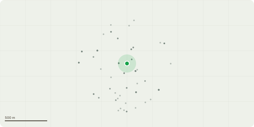
Approximate location
Proposal
Details of Condition 15 'Wheelchair Units'as required by planning permission 24/AP/0255 dated 30/03/2025 for Variation of Condition 1 'Approved Plans', Condition 2 'Time and quantum of uses' and Condition 26 'Green, Brown and Blue Roofs' attached to planning permission 19/AP/1710, for: "Demolition of existing buildings on the site and the comprehensive mixed use redevelopment of the site comprising of two buildings for residential (Use Class C3 ), flexible retail and commercial floorspace at ground floor and use class C1 at mezzanine level, new public park, private and communal amenity space, associated car and cycle parking, access and servicing arrangements, plant and other associated works". The amendments include the following: - Increase of 30 residential units, bringing the overall total to 292 homes; - Proposed extension to the west building by five floors to accommodate for the additional residential units; - Conversion of the Mezzanine to provide 12 new C1 Hotel Use studio apartments; - The addition of retail / commercial space to the Old Kent Road active frontages; - The increase of affordable housing from 39.8% to 40.04%; and - Changes to the internal layout, including the incorporation of two stairs to both building cores, to ensure compliance with fire safety regulations".
Key dates
- Received 16 Dec 2025
- Validated 17 Dec 2025
- Started 17 Dec 2025
- Decided 3 Feb 2026
Planning history / related applications
No related planning applications have been identified in the current public OGL dataset.
Inside plotEdge
Go beyond the public record
This page is the public OGL record. plotEdge adds the private intelligence layer for this site - open it in the app to unlock:
- Ownership & title Registered owner and title from HM Land Registry.
- Viability & build potential Site scoring and development upside.
- Constraints Flood risk, green belt, conservation areas and designations.
- Approval signal Planning risk and approval-likelihood analysis.
- Comparable applications Decisions on similar nearby sites, side by side.
- Status alerts Get notified the moment this application changes.
Source: public planning application data from Southwark, reused under the Open Government Licence v3.0. View the council source record. Council documents and drawings are not republished on plotEdge.