Southwark
Southwark/25/AP/3658
180 Ilderton Road London SE15 1NT
- Reference
- Southwark/25/AP/3658
- Authority
- Southwark
- Address
- 180 Ilderton Road London SE15 1NT
- Postcode
- SE15 1NT
- Status
- Awaiting decision
- Received
- 16 Dec 2025
- Started
- 16 Dec 2025
- Source council
- Southwark
- Council source record
- View public record
- Public data licence
- Open Government Licence v3.0
- Record updated
- 18 Jul 2026
- SEO index generated
- 24 Jul 2026
Location
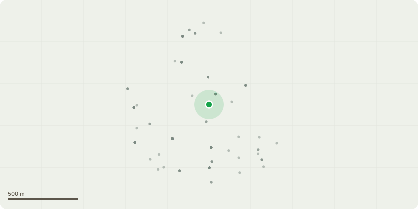
Approximate location
Proposal
Minor material amendments under Section 73 of the Town and Country Planning Act 1990 (as amended) to planning permission 17/AP/4546 (as amended under various S96A applications) to insert retail and food & drink uses on the ground floor, amend the ground floor elevations as necessary, and infill a small void on the mezzanine. Variation of condition 2 to amend the schedule of approved drawings; variation of condition 20 to amend the servicing and delivery hours from '08.00 to 20.00hrs on Monday to Saturday and 10.00 to 16.00hrs on Sundays & Bank Holidays.' to '07.00 to 20.00hrs on Monday to Saturday and 09.00 to 16:00hrs on Sundays and Bank holidays'; and the introduction of a new condition for the trading hours of the ground floor retail and food and drink uses to between 07:00 and 23:00 Monday to Sunday, including Bank Holidays.' New approved development description following s96a application reference 25/AP/3657 dated 11/02/2026 to now read "Demolition of existing building and erection of a part 5, 8 and 9 storey plus basement mixed-use development (max height 29.98m) comprising 2,351 sqm (gia) of flexible commercial floorspace (Use Class E) and 84 residential apartments (Use Class C3) with associated amenity space and ancillary infrastructure".
Key dates
- Received 16 Dec 2025
- Started 16 Dec 2025
Planning history / related applications
No related planning applications have been identified in the current public OGL dataset.
Inside plotEdge
Go beyond the public record
This page is the public OGL record. plotEdge adds the private intelligence layer for this site - open it in the app to unlock:
- Ownership & title Registered owner and title from HM Land Registry.
- Viability & build potential Site scoring and development upside.
- Constraints Flood risk, green belt, conservation areas and designations.
- Approval signal Planning risk and approval-likelihood analysis.
- Comparable applications Decisions on similar nearby sites, side by side.
- Status alerts Get notified the moment this application changes.
Source: public planning application data from Southwark, reused under the Open Government Licence v3.0. View the council source record. Council documents and drawings are not republished on plotEdge.