Southwark
Southwark/25/AP/3431
Norman Court Lordship Lane London Southwark SE22 8JT
- Reference
- Southwark/25/AP/3431
- Authority
- Southwark
- Address
- Norman Court Lordship Lane London Southwark SE22 8JT
- Postcode
- SE22 8JT
- Status
- Granted
- Decision
- Tree Works/TPO Consent - GRANTED
- Received
- 24 Nov 2025
- Validated
- 24 Nov 2025
- Started
- 24 Nov 2025
- Decided
- 16 Jan 2026
- Source council
- Southwark
- Council source record
- View public record
- Public data licence
- Open Government Licence v3.0
- Record updated
- 18 Jul 2026
- SEO index generated
- 24 Jul 2026
Location
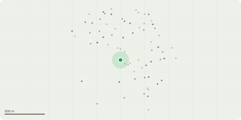
Approximate location
Proposal
Works to a tree with a TPO:T23 Ash - Rear LHB. Boundary tree. Future structural impact high (damage to boundary wall). Will cause future maintenance issues. Lapsed pollard (pollarded at approximately 8m with mature re-growth). Poor shape & form. Declining. Dieback in crown. Moderate deadwood. Previously crown reduced (including lateral branch removal / reduction). Multiple pruning wounds. Large pruning wound decay pockets / cavity on stem. Inonotus hispidus fungal fruiting bodies in crown. Nesting holes in stem or branches / potential habitat value - To re-pollard back to previous reduction points. To carry out aerial inspection including extent of decay at old pollard points. Height is currently 12 metres reducing to 8 metres by a spread of 8 metres reducing to 6 meters. T24 Elder - No significant defects visible. Unable to inspect stem due to Ivy. Poor shape & form. Strained tree unlikley to recover. Significant stem lean. Leaning South-East. Branches encroaching upon building - To carefully section fell as close to ground level as possible. Height is 3 metres by 3 a spread of metres.
Key dates
- Received 24 Nov 2025
- Validated 24 Nov 2025
- Started 24 Nov 2025
- Decided 16 Jan 2026
Planning history / related applications
No related planning applications have been identified in the current public OGL dataset.
Inside plotEdge
Go beyond the public record
This page is the public OGL record. plotEdge adds the private intelligence layer for this site - open it in the app to unlock:
- Ownership & title Registered owner and title from HM Land Registry.
- Viability & build potential Site scoring and development upside.
- Constraints Flood risk, green belt, conservation areas and designations.
- Approval signal Planning risk and approval-likelihood analysis.
- Comparable applications Decisions on similar nearby sites, side by side.
- Status alerts Get notified the moment this application changes.
Source: public planning application data from Southwark, reused under the Open Government Licence v3.0. View the council source record. Council documents and drawings are not republished on plotEdge.