Southwark
Southwark/25/AP/3033
Tower Bridge Business Complex 100 Clements Road Aka Biscuit Factory And Bermondsey Campus Site Keetons Road London SE16 4DG
- Reference
- Southwark/25/AP/3033
- Authority
- Southwark
- Address
- Tower Bridge Business Complex 100 Clements Road Aka Biscuit Factory And Bermondsey Campus Site Keetons Road London SE16 4DG
- Postcode
- SE16 4DG
- Status
- Decided
- Decision
- Agreed - for App Types VLA and VNMC
- Received
- 17 Oct 2025
- Validated
- 11 Nov 2025
- Started
- 11 Nov 2025
- Decided
- 7 May 2026
- Source council
- Southwark
- Council source record
- View public record
- Public data licence
- Open Government Licence v3.0
- Record updated
- 18 Jul 2026
- SEO index generated
- 24 Jul 2026
Location
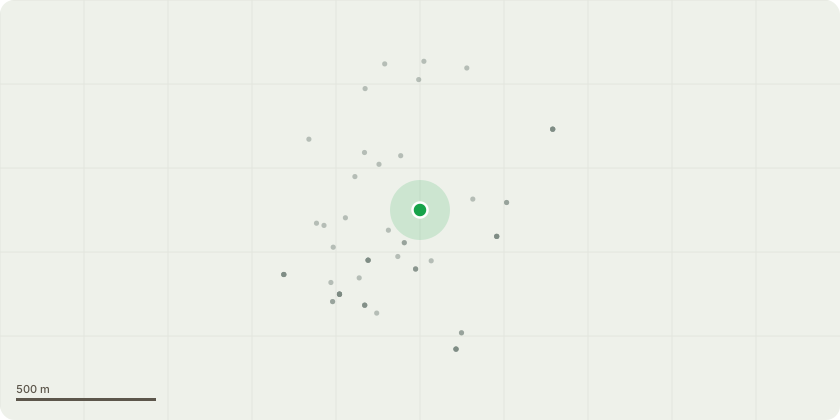
Approximate location
Proposal
Non-material amendments to planning permission ref. 23/AP/2124 (for the redevelopment of the Biscuit Factory and Campus Site). The amendments sought to both buildings include changes to the approved drawings for Buildings OPQ such as:- Revisions to ground floor layouts to amend the commercial units, plant, cores, waste stores and cycle parking, layouts to flats, balcony sizes, stair and lift cores, and an increase in external amenity space. - Revisions to the housing mix of 2-bed 3-person flats and 2-bed 4-person flats.- Revisions to the elevations including to the ground floor curtain walling and its cill height, replace the louvres above residential windows with cladding panels, revise transoms to residential windows, raise levels at 8th floor and above, remove the roof top plant and screens (which reduce the maximum AOD height of both buildings), and raise parapet heights of OQ by 455mm.
Key dates
- Received 17 Oct 2025
- Validated 11 Nov 2025
- Started 11 Nov 2025
- Decided 7 May 2026
Planning history / related applications
No related planning applications have been identified in the current public OGL dataset.
Inside plotEdge
Go beyond the public record
This page is the public OGL record. plotEdge adds the private intelligence layer for this site - open it in the app to unlock:
- Ownership & title Registered owner and title from HM Land Registry.
- Viability & build potential Site scoring and development upside.
- Constraints Flood risk, green belt, conservation areas and designations.
- Approval signal Planning risk and approval-likelihood analysis.
- Comparable applications Decisions on similar nearby sites, side by side.
- Status alerts Get notified the moment this application changes.
Source: public planning application data from Southwark, reused under the Open Government Licence v3.0. View the council source record. Council documents and drawings are not republished on plotEdge.