Southwark
Southwark/25/AP/2974
Parsonage 18 Larcom Street London Southwark SE17 1NQ
- Reference
- Southwark/25/AP/2974
- Authority
- Southwark
- Address
- Parsonage 18 Larcom Street London Southwark SE17 1NQ
- Postcode
- SE17 1NQ
- Status
- Granted
- Decision
- Tree Works/Conservation Area - GRANTED
- Received
- 13 Oct 2025
- Validated
- 23 Oct 2025
- Started
- 23 Oct 2025
- Decided
- 1 Dec 2025
- Source council
- Southwark
- Council source record
- View public record
- Public data licence
- Open Government Licence v3.0
- Record updated
- 18 Jul 2026
- SEO index generated
- 24 Jul 2026
Location
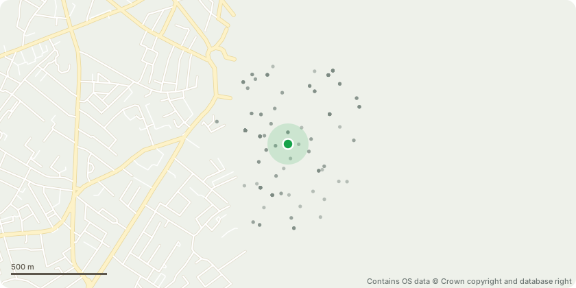
Approximate location - Contains OS data © Crown copyright and database right
Proposal
T1 Bay: Fell - The tree is of limited arboricultural merit, exhibiting poor form and restricted growth due to its constrained rooting environment. Planted in an unsuitable location, in close proximity to the building and associated hard surfaces, which have severely restricted available rooting volume and contributed to its suppressed condition.The species expected mature size and growth characteristics, its position is inappropriate for long-term retention within such a confined space. The limited rooting area poses a risk to structural integrity and stability, thereby restricting the safe future management of the tree.Removal is therefore considered a reasonable and proportionate management action, allowing for replacement planting of a more suitable species in a more appropriate location if desired.
Key dates
- Received 13 Oct 2025
- Validated 23 Oct 2025
- Started 23 Oct 2025
- Decided 1 Dec 2025
Planning history / related applications
No related planning applications have been identified in the current public OGL dataset.
Inside plotEdge
Go beyond the public record
This page is the public OGL record. plotEdge adds the private intelligence layer for this site - open it in the app to unlock:
- Ownership & title Registered owner and title from HM Land Registry.
- Viability & build potential Site scoring and development upside.
- Constraints Flood risk, green belt, conservation areas and designations.
- Approval signal Planning risk and approval-likelihood analysis.
- Comparable applications Decisions on similar nearby sites, side by side.
- Status alerts Get notified the moment this application changes.
Source: public planning application data from Southwark, reused under the Open Government Licence v3.0. View the council source record. Council documents and drawings are not republished on plotEdge.