Southwark
Southwark/25/AP/2963
Alleyns School Townley Road London Southwark SE22 8SU
- Reference
- Southwark/25/AP/2963
- Authority
- Southwark
- Address
- Alleyns School Townley Road London Southwark SE22 8SU
- Postcode
- SE22 8SU
- Status
- Granted
- Decision
- Tree Works/TPO Consent - GRANTED
- Received
- 7 Oct 2025
- Validated
- 7 Oct 2025
- Started
- 7 Oct 2025
- Decided
- 14 Oct 2025
- Source council
- Southwark
- Council source record
- View public record
- Public data licence
- Open Government Licence v3.0
- Record updated
- 18 Jul 2026
- SEO index generated
- 24 Jul 2026
Location
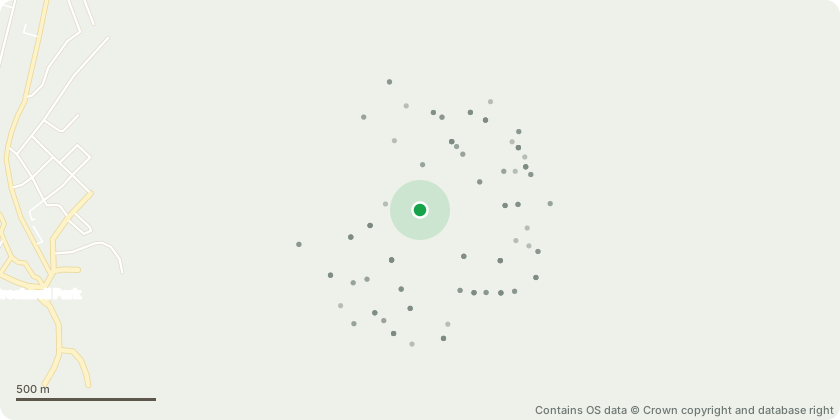
Approximate location - Contains OS data © Crown copyright and database right
Proposal
Five day notification for tree works - All trees mentioned contain dead branches at different levels of severity that we require to remove in relation to health and safety concerns:T1 Quercus - Many branches within crown of varying sizesT25 Fagus - Large dead branches over bin areaT72 Gleditsia - Multiple dead w/in crownT80 Carpinus - Dead within crownT83 Carpinus - Dead within crownT94 Acer - Multiple dead w/in crownT98 Cedrus - Large hanger to be removedT100 Cedrus - Large hanger and dead in canopyT109 Fraxinus - Much dead, particularly over Townley RoadT111 Tilia - Multiple dead w/in crownT112 Tilia - Multiple dead w/in crownT119 Acer - Multiple dead w/in crownT129 Acer - Multiple dead w/in crownT132 Acer - Multiple dead w/in crown. - large quantity of weight on forked branch also of concernT142 Quercus - Multiple dead w/in crownT151 Aesculus -Multiple dead w/in crownT156 Aesculus - Large dead w/in centre of crownT164 Sorbus with considerable dieback throughoutT166 Ilex - Multiple dead w/in crownT185 Ailanthus - Large dead w/in crownT203 Cedrus - Multiple dead w/in crownT216 Lime at front entrance with sizable dead branches at topPlus two trees to the left of T61 on the map. Prunus, dead over hanging Junior School entrance and Tilia next to it No38 Hillsborough Road, with several dead branches.
Key dates
- Received 7 Oct 2025
- Validated 7 Oct 2025
- Started 7 Oct 2025
- Decided 14 Oct 2025
Planning history / related applications
No related planning applications have been identified in the current public OGL dataset.
Inside plotEdge
Go beyond the public record
This page is the public OGL record. plotEdge adds the private intelligence layer for this site - open it in the app to unlock:
- Ownership & title Registered owner and title from HM Land Registry.
- Viability & build potential Site scoring and development upside.
- Constraints Flood risk, green belt, conservation areas and designations.
- Approval signal Planning risk and approval-likelihood analysis.
- Comparable applications Decisions on similar nearby sites, side by side.
- Status alerts Get notified the moment this application changes.
Source: public planning application data from Southwark, reused under the Open Government Licence v3.0. View the council source record. Council documents and drawings are not republished on plotEdge.