Southwark
Southwark/25/AP/2907
8 Dulwich Common London Southwark SE21 7EX
- Reference
- Southwark/25/AP/2907
- Authority
- Southwark
- Address
- 8 Dulwich Common London Southwark SE21 7EX
- Postcode
- SE21 7EX
- Status
- TPO made
- Decision
- Tree Works/Conservation Area - TPO MADE
- Received
- 8 Oct 2025
- Validated
- 8 Oct 2025
- Started
- 8 Oct 2025
- Decided
- 18 Nov 2025
- Source council
- Southwark
- Council source record
- View public record
- Public data licence
- Open Government Licence v3.0
- Record updated
- 18 Jul 2026
- SEO index generated
- 24 Jul 2026
Location
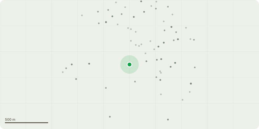
Approximate location
Proposal
T1 Pedunculate Oak of the MWA Arboricultural Report.Works- Remove (fell) to near ground level. TG1 Ash (3 trees with shrubs below) of the MWA Arboricultural Report.Works: Remove (fell) Ash to near ground level. Owner to physically remove any regrowth (no chemical treatment due to translocation risk). Maintain remainder broadly at no more than current dimensions by periodic pruningReason: Clay shrinkage subsidence damage at neighbouring property, 10 Dulwich Common, SE21 7EX.A separate S.211 notification is submitted regarding works to T2 ash as recommended in the MWA Arboricultural Report.Permissions are also being sought from Dulwich Estates for all the above works plus those recommended to H1 Privet.
Key dates
- Received 8 Oct 2025
- Validated 8 Oct 2025
- Started 8 Oct 2025
- Decided 18 Nov 2025
Planning history / related applications
No related planning applications have been identified in the current public OGL dataset.
Inside plotEdge
Go beyond the public record
This page is the public OGL record. plotEdge adds the private intelligence layer for this site - open it in the app to unlock:
- Ownership & title Registered owner and title from HM Land Registry.
- Viability & build potential Site scoring and development upside.
- Constraints Flood risk, green belt, conservation areas and designations.
- Approval signal Planning risk and approval-likelihood analysis.
- Comparable applications Decisions on similar nearby sites, side by side.
- Status alerts Get notified the moment this application changes.
Source: public planning application data from Southwark, reused under the Open Government Licence v3.0. View the council source record. Council documents and drawings are not republished on plotEdge.