Southwark
Southwark/25/AP/2450
Peckham Rye Railway Station Station Way London Southwark SE15 4RX
- Reference
- Southwark/25/AP/2450
- Authority
- Southwark
- Address
- Peckham Rye Railway Station Station Way London Southwark SE15 4RX
- Postcode
- SE15 4RX
- Status
- Granted
- Decision
- Certificate of Lawfulness Prop- GRANTED
- Received
- 26 Aug 2025
- Validated
- 26 Aug 2025
- Started
- 26 Aug 2025
- Decided
- 29 Aug 2025
- Source council
- Southwark
- Council source record
- View public record
- Public data licence
- Open Government Licence v3.0
- Record updated
- 18 Jul 2026
- SEO index generated
- 24 Jul 2026
Location
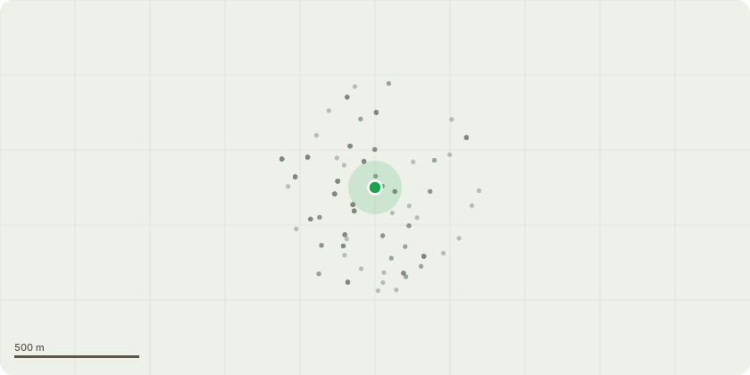
Approximate location
Proposal
Certificate of lawful development (proposed) to secure the material commencement of the development approved under Listed Building Consent 22/AP/1329 dated 13/09/2022 for partial demolition and alteration of Peckham Rye Station and formation of a new triple height concourse to the rear to provide additional circulation space, stairs and lifts and 3 storey extension onto Holly Grove provide lifts and stairs, an electrical substation and station support accommodation. Provision of an additional stair and lift on platform 1. Remodelling of the booking hall to improve station facilities and accessibility, including the creation of a new structural opening through to the new concourse building. Reinstatement of loss plasterwork and joinery in the booking hall. Reinstatement of cast iron and glazed canopy to the east elevation. Reopening of blocked up openings south elevation (booking hall) west elevation (waiting room) and installation of new timber windows, doors and associated joinery. The proposals include plaster and brickwork exploratory in the station office area.
Key dates
- Received 26 Aug 2025
- Validated 26 Aug 2025
- Started 26 Aug 2025
- Decided 29 Aug 2025
Planning history / related applications
No related planning applications have been identified in the current public OGL dataset.
Inside plotEdge
Go beyond the public record
This page is the public OGL record. plotEdge adds the private intelligence layer for this site - open it in the app to unlock:
- Ownership & title Registered owner and title from HM Land Registry.
- Viability & build potential Site scoring and development upside.
- Constraints Flood risk, green belt, conservation areas and designations.
- Approval signal Planning risk and approval-likelihood analysis.
- Comparable applications Decisions on similar nearby sites, side by side.
- Status alerts Get notified the moment this application changes.
Source: public planning application data from Southwark, reused under the Open Government Licence v3.0. View the council source record. Council documents and drawings are not republished on plotEdge.