Southwark
Southwark/25/AP/2317
221 New Kent Road London Southwark SE1 4AD
- Reference
- Southwark/25/AP/2317
- Authority
- Southwark
- Address
- 221 New Kent Road London Southwark SE1 4AD
- Postcode
- SE1 4AD
- Status
- Granted
- Decision
- AOD - Granted
- Received
- 13 Aug 2025
- Validated
- 14 Aug 2025
- Started
- 14 Aug 2025
- Decided
- 2 Oct 2025
- Source council
- Southwark
- Council source record
- View public record
- Public data licence
- Open Government Licence v3.0
- Record updated
- 18 Jul 2026
- SEO index generated
- 24 Jul 2026
Location
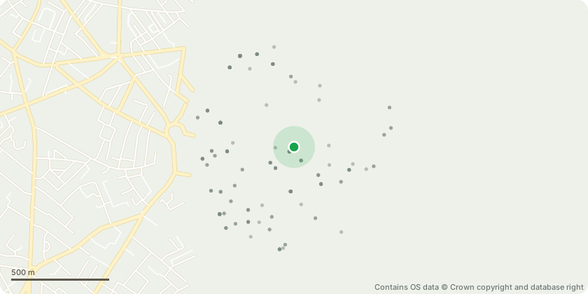
Approximate location - Contains OS data © Crown copyright and database right
Proposal
Details of Condition 41 (Archaeological Assessment) pursuant to planning permission ref. 24/AP/2385 dated 13/12/2024 for 'Variation of Condition 1 (Approved Plans) for planning permission ref no. 23/AP/1991 'Minor material amendment by variation of Conditions 1 (Approved Plans), 36 (Approved Building Height), 37 (Approved Quantum of Work/Maker Space) and 38 (Approved Number of Hotel Rooms) of planning permission 19/AP/5389, the development description for which was: "Demolition of existing warehouse building and erection of a part 3, part 6 and part 9 storey building providing 200 hotel rooms (Class C1) and 1,354sqm of work/maker space at ground floor (and mezzanine) (Flexible Class B1) as well as ancillary cafe/restaurant and bar facilities (Class A3/A4), along with associated landscaping, servicing yard and access works."The amendments sought by this application are:- Façade alterations- Alteration to accessible room sizes- Alterations to position of room sizes and layouts- Alterations to the plan across all levels - Alterations to the roof with relocation of biodiverse roof and provision of railings above the mezzanine for safe maintenance'
Key dates
- Received 13 Aug 2025
- Validated 14 Aug 2025
- Started 14 Aug 2025
- Decided 2 Oct 2025
Planning history / related applications
No related planning applications have been identified in the current public OGL dataset.
Inside plotEdge
Go beyond the public record
This page is the public OGL record. plotEdge adds the private intelligence layer for this site - open it in the app to unlock:
- Ownership & title Registered owner and title from HM Land Registry.
- Viability & build potential Site scoring and development upside.
- Constraints Flood risk, green belt, conservation areas and designations.
- Approval signal Planning risk and approval-likelihood analysis.
- Comparable applications Decisions on similar nearby sites, side by side.
- Status alerts Get notified the moment this application changes.
Source: public planning application data from Southwark, reused under the Open Government Licence v3.0. View the council source record. Council documents and drawings are not republished on plotEdge.