Southwark
Southwark/25/AP/1911
224-226 Tower Bridge Road London Southwark SE1 2UP
- Reference
- Southwark/25/AP/1911
- Authority
- Southwark
- Address
- 224-226 Tower Bridge Road London Southwark SE1 2UP
- Postcode
- SE1 2UP
- Status
- Granted
- Decision
- AOD - Granted
- Received
- 4 Jul 2025
- Validated
- 7 Jul 2025
- Started
- 7 Jul 2025
- Decided
- 5 Aug 2025
- Source council
- Southwark
- Council source record
- View public record
- Public data licence
- Open Government Licence v3.0
- Record updated
- 18 Jul 2026
- SEO index generated
- 24 Jul 2026
Location
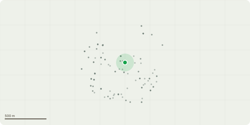
Approximate location
Proposal
Details of Condition 6B (Post Construction Review) pursuant to planning permission ref. 24/AP/1373 dated 17/06/2025 for 'Variation of condition 1 (Approved Plans) and removal of condition 16 (EV Charging Point) and condition 19 (Disabled Parking Bay) pursuant to planning application ref. no. 19/AP/1975: Refurbishment of existing office building including new facades, the addition of a part 1, part 3 storey rooftop extension plus rooftop plant. The proposal comprises office uses at all floor levels with complementary, active and flexible uses (A1/A2/A3/B1a/D1/D2 excluding Education; Places of Worship; Public Hall; Law Courts; Music and Concert Venues; Dance and Sports Hall; Swimming Baths; Skating Rink; and Bingo Hall) at first floor, ground and lower ground floor, with associated access, landscaping, roof terraces and cycle parking. The variation seeks to retain the loading bay resulting in the removal of the EV charging point and accessible parking space.'
Key dates
- Received 4 Jul 2025
- Validated 7 Jul 2025
- Started 7 Jul 2025
- Decided 5 Aug 2025
Planning history / related applications
No related planning applications have been identified in the current public OGL dataset.
Inside plotEdge
Go beyond the public record
This page is the public OGL record. plotEdge adds the private intelligence layer for this site - open it in the app to unlock:
- Ownership & title Registered owner and title from HM Land Registry.
- Viability & build potential Site scoring and development upside.
- Constraints Flood risk, green belt, conservation areas and designations.
- Approval signal Planning risk and approval-likelihood analysis.
- Comparable applications Decisions on similar nearby sites, side by side.
- Status alerts Get notified the moment this application changes.
Source: public planning application data from Southwark, reused under the Open Government Licence v3.0. View the council source record. Council documents and drawings are not republished on plotEdge.