Southwark
Southwark/25/AP/1758
Land East Of Crown Street Between Wyndham Road And Bethwin Road Including The Former Crown Street Depot And The Bethwin Road Adventure Playground Crown Street Camberwell SE5 0UU
- Reference
- Southwark/25/AP/1758
- Authority
- Southwark
- Address
- Land East Of Crown Street Between Wyndham Road And Bethwin Road Including The Former Crown Street Depot And The Bethwin Road Adventure Playground Crown Street Camberwell SE5 0UU
- Postcode
- SE5 0UU
- Status
- Under consideration/assessment
- Received
- 17 Jun 2025
- Started
- 17 Jun 2025
- Source council
- Southwark
- Council source record
- View public record
- Public data licence
- Open Government Licence v3.0
- Record updated
- 18 Jul 2026
- SEO index generated
- 24 Jul 2026
Location
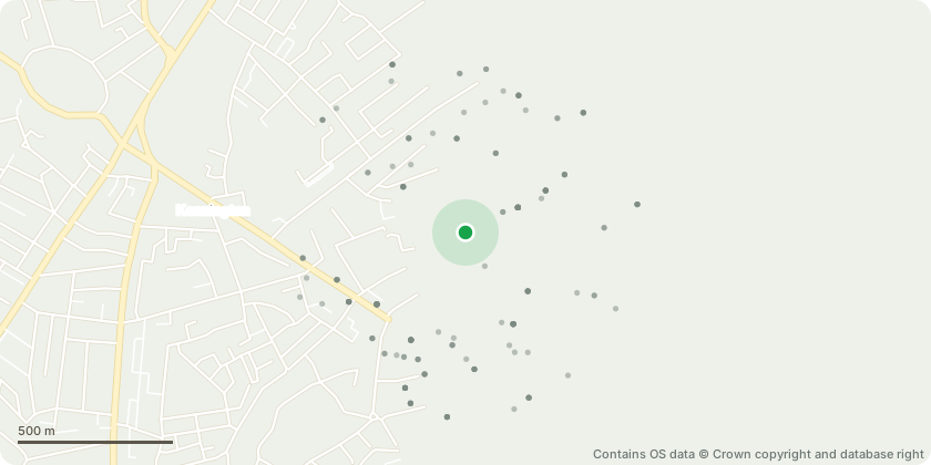
Approximate location - Contains OS data © Crown copyright and database right
Proposal
Details of condition 3 (Tree protection) pursuant to planning permission 22/AP/1818 (Variation of condition 1 (approved plans) of planning permission dated 24.10.2017 ref. 16/AP/2511 for: "Variation of Condition 2 "Approved Plans" of planning permission 13/AP/0561 for: Redevelopment of the site including the demolition of existing depot building and erection of four new residential buildings of between six and nine storeys accommodating 69 dwellings and 137m2 of Class A1/A2/A3 space (retail/services/cafe), 9 disabled car parking spaces, cycle parking, private and communal amenity space including a new public square and landscaping, plus refurbishment and single storey extensions to the existing Bethwin Road playgroup building (Class D1 use) with associated landscaping.Amendments sought to Blocks 2, 3, 4 and 5 including:- Reconfiguration of residential layouts and associated ancillary stores and facilities;- Minor changes to the height, width and footprint of individual Blocks;- Minor changes to architectural expression, including alignment and size of windows;- Revised balcony design and sizes;- Retail space switches from Block 3 to Block 5;- Reduction in amount of accessible roof terraces;- Updated technical studies including daylight, sunlight and energy."The variation comprises the substitution of approved plans to secure amendments to Blocks 2, 3 and 5 including:- Regularising the as built block heights;- Amendments to the footprints to incorporate non-combustible insulation and cavity barriers;- Regularising the as built alignment and size of windows;- Regularising the as built ground floor ancillary areas;- Removal of existing brickwork and combustible insulation, provision of A1 fire rated insulation, cavity barriers, and closers, and re-cladding of the buildings with brick;- Alternative cladding to balconies.)
Key dates
- Received 17 Jun 2025
- Started 17 Jun 2025
Planning history / related applications
No related planning applications have been identified in the current public OGL dataset.
Inside plotEdge
Go beyond the public record
This page is the public OGL record. plotEdge adds the private intelligence layer for this site - open it in the app to unlock:
- Ownership & title Registered owner and title from HM Land Registry.
- Viability & build potential Site scoring and development upside.
- Constraints Flood risk, green belt, conservation areas and designations.
- Approval signal Planning risk and approval-likelihood analysis.
- Comparable applications Decisions on similar nearby sites, side by side.
- Status alerts Get notified the moment this application changes.
Source: public planning application data from Southwark, reused under the Open Government Licence v3.0. View the council source record. Council documents and drawings are not republished on plotEdge.