Southwark
Southwark/25/AP/1610
56 Sutherland Square London Southwark SE17 3EL
- Reference
- Southwark/25/AP/1610
- Authority
- Southwark
- Address
- 56 Sutherland Square London Southwark SE17 3EL
- Postcode
- SE17 3EL
- Status
- Granted
- Decision
- Listed Building Consent - GRANTED
- Received
- 2 Jun 2025
- Validated
- 10 Jul 2025
- Started
- 10 Jul 2025
- Decided
- 22 Aug 2025
- Source council
- Southwark
- Council source record
- View public record
- Public data licence
- Open Government Licence v3.0
- Record updated
- 18 Jul 2026
- SEO index generated
- 24 Jul 2026
Location
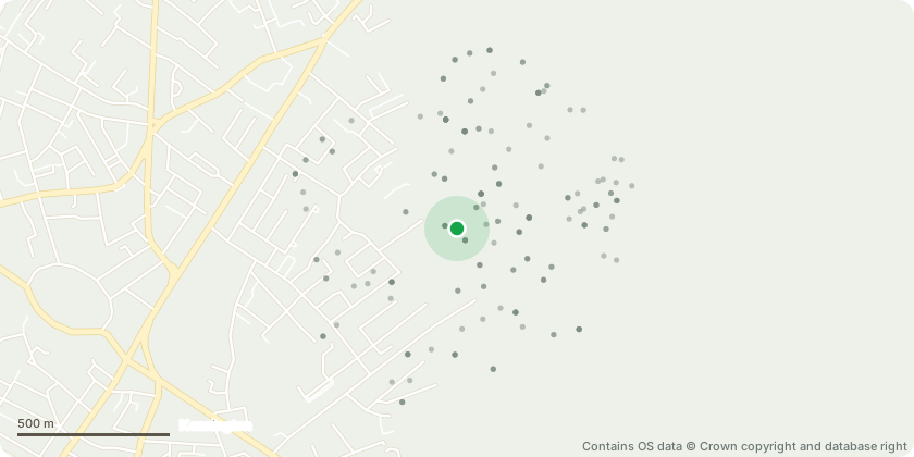
Approximate location - Contains OS data © Crown copyright and database right
Proposal
Retrospective application for repairs to the exterior of the building to include; emergency repair of detached stucco band at fourth-floor level and removal/reinstatement of adjacent failing sections, repointing of mortar across approximately one-third of the facade to replace loose or absent sections, structural reinforcement using Heli bars behind the mortar course at four points to secure the façade, repair of cracked and porous window reveals, including removal of protruding cemented ledges to prevent water accumulation, removal of a concrete patch above the basement kitchen window and reinstatement of original ashlar lining and string lines, restoration of the stucco architrave around the raised ground floor window following unforeseen deterioration during repair, and reinstatement of the lost pediment above the window to restore symmetry within the terrace, mirroring the adjacent property, no. 59
Key dates
- Received 2 Jun 2025
- Validated 10 Jul 2025
- Started 10 Jul 2025
- Decided 22 Aug 2025
Planning history / related applications
No related planning applications have been identified in the current public OGL dataset.
Inside plotEdge
Go beyond the public record
This page is the public OGL record. plotEdge adds the private intelligence layer for this site - open it in the app to unlock:
- Ownership & title Registered owner and title from HM Land Registry.
- Viability & build potential Site scoring and development upside.
- Constraints Flood risk, green belt, conservation areas and designations.
- Approval signal Planning risk and approval-likelihood analysis.
- Comparable applications Decisions on similar nearby sites, side by side.
- Status alerts Get notified the moment this application changes.
Source: public planning application data from Southwark, reused under the Open Government Licence v3.0. View the council source record. Council documents and drawings are not republished on plotEdge.