Southwark
Southwark/25/AP/1359
12 Ropemaker Road London Southwark SE16 6QG
- Reference
- Southwark/25/AP/1359
- Authority
- Southwark
- Address
- 12 Ropemaker Road London Southwark SE16 6QG
- Postcode
- SE16 6QG
- Status
- Withdrawn
- Decision
- Treated as Withdrawn by LPA
- Received
- 8 May 2025
- Validated
- 8 May 2025
- Started
- 8 May 2025
- Decided
- 5 Jun 2025
- Source council
- Southwark
- Council source record
- View public record
- Public data licence
- Open Government Licence v3.0
- Record updated
- 18 Jul 2026
- SEO index generated
- 24 Jul 2026
Location
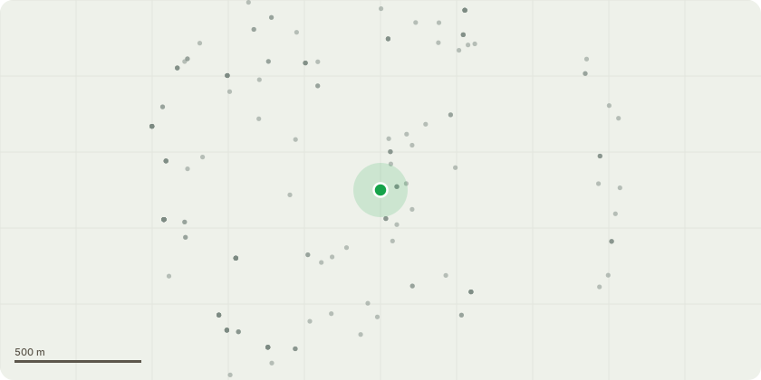
Approximate location
Proposal
Works to a tree in a conservation area: T1 is a medium sized mature Plane tree growing within a woodland area that grows at the rear of 12 Ropemakers Road. The tree is in full health with no signs of defects when viewing from the ground. All east-facing laterals reach out over into the rear garden of 12 ropemaker road with an extension of 8 metres at the lower laterals.Reasons for the works proposedThe client has expressed a desire for a significant cut back of the lower laterals to create more light and give clearance from their property- To increase light- To lessen leaf litter- To lessen the length and sail of overhanging laterals to remove anyfuture risk of tree failure- To lessen its imposing effect on the gardenDescription of Proposed Works- Reduce lower east-facing laterals to suitable growth points at the boundary from 8 metres to 5 metres
Key dates
- Received 8 May 2025
- Validated 8 May 2025
- Started 8 May 2025
- Decided 5 Jun 2025
Planning history / related applications
No related planning applications have been identified in the current public OGL dataset.
Inside plotEdge
Go beyond the public record
This page is the public OGL record. plotEdge adds the private intelligence layer for this site - open it in the app to unlock:
- Ownership & title Registered owner and title from HM Land Registry.
- Viability & build potential Site scoring and development upside.
- Constraints Flood risk, green belt, conservation areas and designations.
- Approval signal Planning risk and approval-likelihood analysis.
- Comparable applications Decisions on similar nearby sites, side by side.
- Status alerts Get notified the moment this application changes.
Source: public planning application data from Southwark, reused under the Open Government Licence v3.0. View the council source record. Council documents and drawings are not republished on plotEdge.