Southwark
Southwark/25/AP/0445
Fielden House 28-42 London Bridge Street London Southwark SE1 9SG
- Reference
- Southwark/25/AP/0445
- Authority
- Southwark
- Address
- Fielden House 28-42 London Bridge Street London Southwark SE1 9SG
- Postcode
- SE1 9SG
- Status
- Decided
- Decision
- Agreed - for App Types VLA and VNMC
- Received
- 18 Feb 2025
- Validated
- 24 Feb 2025
- Started
- 24 Feb 2025
- Decided
- 19 Mar 2025
- Source council
- Southwark
- Council source record
- View public record
- Public data licence
- Open Government Licence v3.0
- Record updated
- 18 Jul 2026
- SEO index generated
- 24 Jul 2026
Location
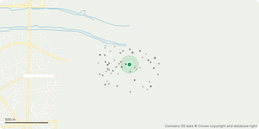
Approximate location - Contains OS data © Crown copyright and database right
Proposal
Non material amendment of planning permission 22/AP/0981 (Variation of Condition 1 (Approved Plans) pursuant to planning permission 20/AP/1473 for 'Minor material amendment to Planning consent 18/AP/3540 (which was an amendment to 17/AP/4008 and 14/AP/1302) for redevelopment of the site.The amendment seeks the following: minor reduction in provision of overall retail floor space (loss of 35 sq.m); instalation of an emergency generator; removal of vehicle stacker and re-provision of the four disabled spaces at the same level; minor amendment to frontage of Joiner Street to accommodate a metal louvre to serve the generator; insertion of metal grating on Level 02; installation of a gas pedestal; and existing generator room to be retained and used as plant space.) to increase the height of the glass balustrade on Level 16
Key dates
- Received 18 Feb 2025
- Validated 24 Feb 2025
- Started 24 Feb 2025
- Decided 19 Mar 2025
Planning history / related applications
No related planning applications have been identified in the current public OGL dataset.
Inside plotEdge
Go beyond the public record
This page is the public OGL record. plotEdge adds the private intelligence layer for this site - open it in the app to unlock:
- Ownership & title Registered owner and title from HM Land Registry.
- Viability & build potential Site scoring and development upside.
- Constraints Flood risk, green belt, conservation areas and designations.
- Approval signal Planning risk and approval-likelihood analysis.
- Comparable applications Decisions on similar nearby sites, side by side.
- Status alerts Get notified the moment this application changes.
Source: public planning application data from Southwark, reused under the Open Government Licence v3.0. View the council source record. Council documents and drawings are not republished on plotEdge.