Southwark
Southwark/25/AP/0290
46-48 Grange Walk London Southwark SE1 3DY
- Reference
- Southwark/25/AP/0290
- Authority
- Southwark
- Address
- 46-48 Grange Walk London Southwark SE1 3DY
- Postcode
- SE1 3DY
- Status
- Decided
- Decision
- Agreed - for App Types VLA and VNMC
- Received
- 4 Feb 2025
- Validated
- 5 Feb 2025
- Started
- 5 Feb 2025
- Decided
- 2 Apr 2025
- Source council
- Southwark
- Council source record
- View public record
- Public data licence
- Open Government Licence v3.0
- Record updated
- 18 Jul 2026
- SEO index generated
- 24 Jul 2026
Location
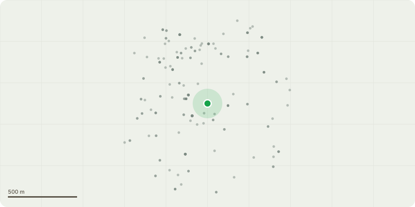
Approximate location
Proposal
Non-material amendment to Condition 1 (Approved Plans) of planning permission 20/AP/0489: 'Construction of a part 2/part 3 storey rooftop extension, remodelling of existing building facades and associated works to provide 5 residential units (Use Class C3) including cycle and refuse storage.' NMA sought: - Minor changes to internal layouts due to amendments to wall build-ups and the location of structural columns- Amendments to room layouts to optimise the space and improve the quality of accommodation, including the introduction of a landing/study area within Unit E;- Adjustment to the lintel on the existing fourth floor elevation;- Amendments to fenestration and balustrade position on the seventh floor;- Reconfiguration of stair core layout to improve Unit E layout;- Provision of a butterfly hatch onto the seventh-floor communal roof terrace to ensure appropriate and safe access;- Reconfiguration of roof light layouts on the roof to align with internal changes to Unit E;- Smoke shaft and AOV changes to satisfy Fire Regulation requirements;- Slight increases to the size of the communal terrace and Unit C terrace as a result of minor layout changes.
Key dates
- Received 4 Feb 2025
- Validated 5 Feb 2025
- Started 5 Feb 2025
- Decided 2 Apr 2025
Planning history / related applications
No related planning applications have been identified in the current public OGL dataset.
Inside plotEdge
Go beyond the public record
This page is the public OGL record. plotEdge adds the private intelligence layer for this site - open it in the app to unlock:
- Ownership & title Registered owner and title from HM Land Registry.
- Viability & build potential Site scoring and development upside.
- Constraints Flood risk, green belt, conservation areas and designations.
- Approval signal Planning risk and approval-likelihood analysis.
- Comparable applications Decisions on similar nearby sites, side by side.
- Status alerts Get notified the moment this application changes.
Source: public planning application data from Southwark, reused under the Open Government Licence v3.0. View the council source record. Council documents and drawings are not republished on plotEdge.