Southwark
Southwark/25/AP/0028
119 Chadwick Road London Southwark SE15 4PY
- Reference
- Southwark/25/AP/0028
- Authority
- Southwark
- Address
- 119 Chadwick Road London Southwark SE15 4PY
- Postcode
- SE15 4PY
- Status
- Granted
- Decision
- Tree Works/TPO Consent - GRANTED
- Received
- 7 Jan 2025
- Validated
- 7 Jan 2025
- Started
- 7 Jan 2025
- Decided
- 25 Feb 2025
- Source council
- Southwark
- Council source record
- View public record
- Public data licence
- Open Government Licence v3.0
- Record updated
- 18 Jul 2026
- SEO index generated
- 24 Jul 2026
Location
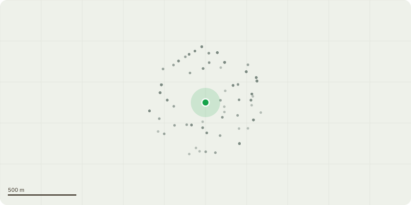
Approximate location
Proposal
T1 (Hawthorn) - Remove & cover stump to inhibit regrowth.T2 (Hornbeam) - Crown reduce to 6.5- 7m in height seeking to maintain a flowing canopy architecture. Sever Ivy. Works to accord with BS3998The reasons for the notification are as follows:a. The property has been the subject of movement which engineers consider to be attributable to the role of vegetation on an underlying clay soil.b. Site investigations confirm the clay soil and levels of desiccation which support the view trees are of influence.c. The onset timing of damage is wholly consistent with the potential that it is caused by tree(s).d. Level monitoring is supportive of the view vegetation is causal.e. The tree (T1) identified for removal is the largest/ closest vegetation to the affected part of the building. It is hoped that removal will mitigate the influence and facilitate the retention of other surveyed trees. f. Pruning to T2 seeks to establish a managed canopy framework allow future pruning works which will seek to retain the tree in a managed form. g. In the event of a refusal the property will be underpinned at an additional cost of not less than 15-25,000 (ex VAT). This additional expense (and additional legal costs in seeking the claim) will be sought by way of compensation under Reg 24.
Key dates
- Received 7 Jan 2025
- Validated 7 Jan 2025
- Started 7 Jan 2025
- Decided 25 Feb 2025
Planning history / related applications
No related planning applications have been identified in the current public OGL dataset.
Inside plotEdge
Go beyond the public record
This page is the public OGL record. plotEdge adds the private intelligence layer for this site - open it in the app to unlock:
- Ownership & title Registered owner and title from HM Land Registry.
- Viability & build potential Site scoring and development upside.
- Constraints Flood risk, green belt, conservation areas and designations.
- Approval signal Planning risk and approval-likelihood analysis.
- Comparable applications Decisions on similar nearby sites, side by side.
- Status alerts Get notified the moment this application changes.
Source: public planning application data from Southwark, reused under the Open Government Licence v3.0. View the council source record. Council documents and drawings are not republished on plotEdge.